Midday Nowcast: Daily Showers and Storms Remain in the Forecast
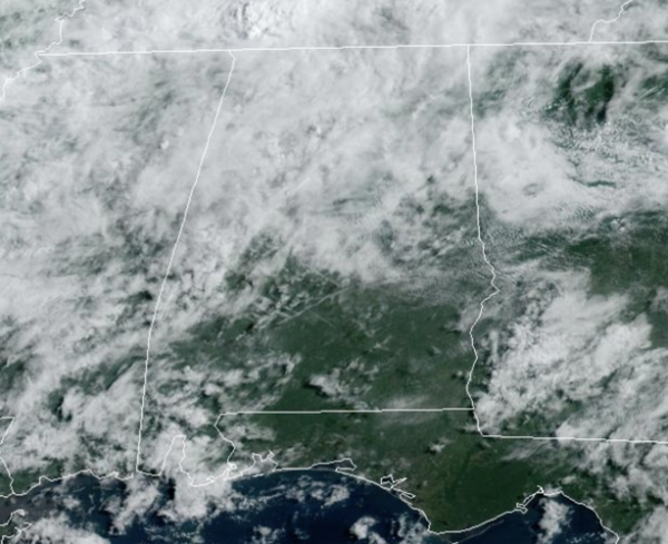
TODAY THROUGH THE WEEKEND: Scattered rain and storms remain in the forecast today and through the weekend as a very tropical air mass remains in place across Alabama. The trend is toward fewer showers and storms, but still rain and storms remain in the forecast with rain chances in the 40-50 percent range through the weekend. With a mix of sun and clouds we expect highs in the low to upper 80s.
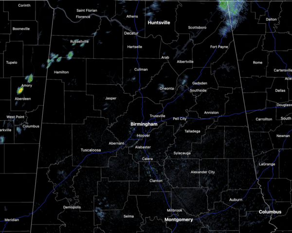
Like recent days, stronger storms will be very efficient rain producers, and areas of isolated flash flooding continue to be possible; also, summer storms produce tremendous amounts of lightning.
BIRMINGHAM ALMANAC: For July 26th, the average high for Birmingham is 91° and the average low is 73°. The record high is 101° set in 1952, while the record low is 58° set in 1911. We average 0.16” of precipitation on this date, and the record value is 4.00” set in 1900.
NEXT WEEK: A more typical summer pattern is the story next week. Expect hot, humid days with scattered, mostly afternoon and evening showers and thunderstorms. Highs will be around 90° Monday and Tuesday, and climbing into the low and mid 90s for the rest of the week.
IN THE TROPICS: The Atlantic Basin is quiet and tropical cyclone development is not expected the next seven days. This is not unusual for this time of year as the core of hurricane season is late August through September, with the statistical peak around September 10th.
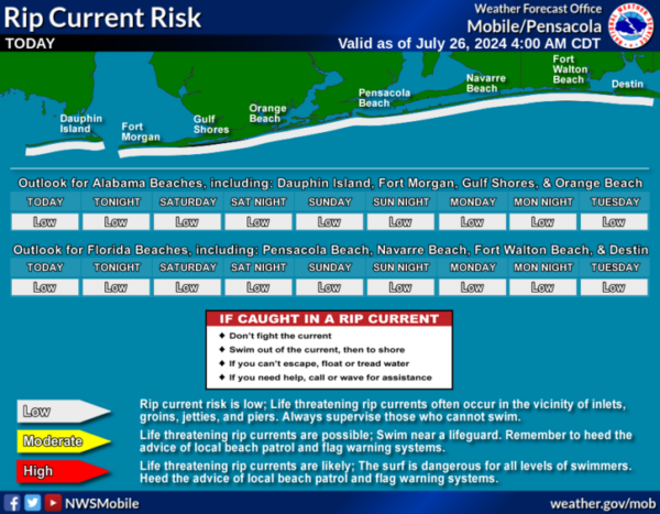
BEACH FORECAST CENTER: Numerous showers and storms are the beaches with high in the mid 80s. PLEASE pay attention to the Rip Current Flag System at each beach. Get the latest weather and rip current forecasts for the beaches from Fort Morgan to Panama City on our Beach Forecast Center page. There, you can select the forecast of the region that you are interested in visiting.
WORLD TEMPERATURE EXTREMES: Over the last 24 hours, the highest observation outside the U.S. was 118.4F at Ahwaz, Iran. The lowest observation was -80.7F at Amundsen-Scott South Pole Station, Antarctica.
CONTIGUOUS TEMPERATURE EXTREMES: Over the last 24 hours, the highest observation was 123F at Death Valley, CA. The lowest observation was 28F at Bynum, MT.
Category: Alabama's Weather, ALL POSTS
About the Author (Author Profile)
Macon, Georgia Television Chief Meteorologist, Birmingham native, and long time Contributor on AlabamaWX. Stormchaser. I did not choose Weather, it chose Me. College Football Fanatic. @Ryan_StinnetSubscribe
If you enjoyed this article, subscribe to receive more just like it.


