
Midday Nowcast: Some Showers Today
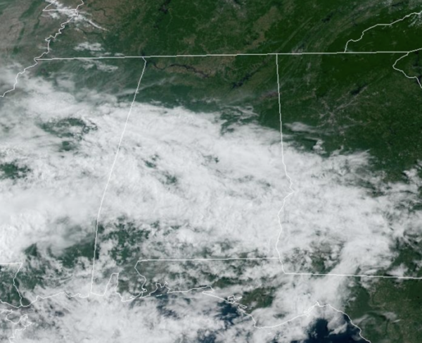
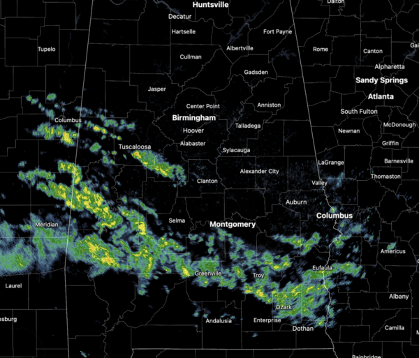
For today and tomorrow, we will mention the chance for some showers, and the best chance of a passing shower will come now over southern portions of the state. Heat levels are lower and highs today will be in the upper 70s and lower 80s, followed by low 80s Friday.
BIRMINGHAM ALMANAC: For May 30th, the average high for Birmingham is 85° and the average low is 65°. The record high is 97° set in 1914, while the record low is 41° set in 1984. We average 0.16” of precipitation on this date, and the record value is 2.80” set in 1959.
ACROSS THE USA: Additional rounds of strong to severe thunderstorms, heavy rains, flash flooding and large hail are in the forecast across most of the Plains today; The greatest risk will be across the Panhandle of Texas. Meanwhile, heat risk continues for portions of Southern Texas and Florida where new records might be set. An approaching system on Sunday for Pacific Northwest may bring heavy rain and winds.
WEEKEND WEATHER: We slip into the typical summer setup across the Deep South this weekend. Expect partly sunny days, and we will have the chance of random, scattered showers and thunderstorms, mainly during the afternoon and evening hours (2PM-10PM). The chance of any one spot getting wet both days is in the 40-60% range, and highs will be in the low to mid 80s. Again, summer convection is random and there is no way of knowing when and where the storms will be, you just have to watch radar trends. Of course, all summer storms produce tremendous amounts of lightning, gusty winds, and torrential rainfall.
IN THE TROPICS: Also this weekend, June 1st is the official start to the 2024 Atlantic Hurricane Season and will run through the end of November. For now, tropical cyclone formation is not expected during the next seven days.
FIRST WEEK OF JUNE: The pattern won’t change through much of next week. Partly sunny days, with the usual round of “scattered, mostly afternoon and evening showers and thunderstorms” on a daily basis. Highs will be in the mid to upper 80s most days, not far from average for early June in Alabama.
BEACH FORECAST CENTER: Get the latest weather and rip current forecasts for the beaches from Fort Morgan to Panama City on our Beach Forecast Center page. There, you can select the forecast of the region that you are interested in visiting.
WORLD TEMPERATURE EXTREMES: Over the last 24 hours, the highest observation outside the U.S. was 122.7F at Jacobabad, Pakistan. The lowest observation was -80.7F at Dome A, Antarctica.
CONTIGUOUS TEMPERATURE EXTREMES: Over the last 24 hours, the highest observation was 108F at Rio Grande Valley, TX. The lowest observation was 16F at Mackay, ID.
Category: Alabama's Weather, ALL POSTS
About the Author (Author Profile)
Macon, Georgia Television Chief Meteorologist, Birmingham native, and long time Contributor on AlabamaWX. Stormchaser. I did not choose Weather, it chose Me. College Football Fanatic. @Ryan_StinnetSubscribe
If you enjoyed this article, subscribe to receive more just like it.


