Midday Nowcast: Sunny and Hot Tuesday
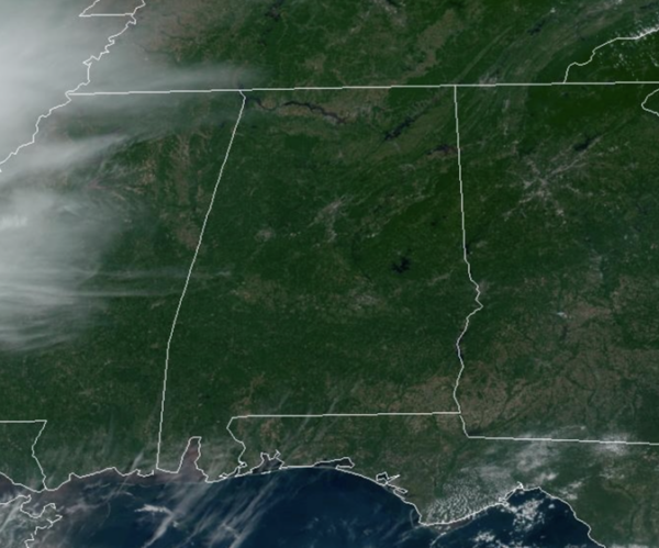
SUNNY AND HOT TUESDAY: Plenty of sunshine in the Alabama sky today and temperatures are surging into the upper 80s and lower 90s. Overall a much calmer day of weather across Alabama compared to the rain and storms yesterday.
BIRMINGHAM ALMANAC: For May 28th, the average high for Birmingham is 85° and the average low is 64°. The record high is 99° set in 1962, while the record low is 44° set in 1907. We average 0.15” of precipitation on this date, and the record value is 2.28” set in 1991.
ACROSS THE USA: Widespread strong to severe storms are expected over much of Texas and in southern Oklahoma Tuesday, with potential for significant damaging wind and large hail. An Enhanced Risk (level 3 of 5) has been issued for central Texas. The threat of excessive rainfall could create localized areas of flash and urban flooding across Texas and southern Oklahoma Tuesday into Wednesday.
REST OF THE WEEK: We will bring in a chance of widely scattered showers tomorrow with a weak disturbance approaching from the west, but the air will be fairly dry, and showers will likely be light and spotty. The high will be in the mid 80s tomorrow with a mix of sun and clouds. For Thursday and Friday, we will continue to mention the chance for a few scattered showers and thunderstorms both days. Best chance of a passing shower will come during the afternoon and evening hours, and heat levels will come down. The high Thursday will be in the upper 70s, followed by mid 80s Friday. Some cooler spots across North Alabama could reach the upper 50s early Friday morning.
ROLLING INTO JUNE: Not much change as we slip into the typical summer setup across the Deep South. Expect partly sunny days, and we will have the chance of random, scattered showers and thunderstorms, mainly during the afternoon and evening hours (2PM-10PM). The chance of any one spot getting wet both days is in the 40-50% range, and highs will be in the low to mid 80s.
FIRST WEEK OF JUNE: The pattern won’t change through much of next week. Partly sunny days, with the usual round of “scattered, mostly afternoon and evening showers and thunderstorms” on a daily basis. Highs will be in the mid to upper 80s most days, not far from average for early June in Alabama.
BEACH FORECAST CENTER: Get the latest weather and rip current forecasts for the beaches from Fort Morgan to Panama City on our Beach Forecast Center page. There, you can select the forecast of the region that you are interested in visiting.
WORLD TEMPERATURE EXTREMES: Over the last 24 hours, the highest observation outside the U.S. was 124.5F at Jacobabad, Pakistan. The lowest observation was -86.8F at Amundsen-Scott South Pole Station, Antarctica.
CONTIGUOUS TEMPERATURE EXTREMES: Over the last 24 hours, the highest observation was 115F at Rio Grande Village, TX. The lowest observation was 18F at Peter Sinks, UT.
Category: Alabama's Weather, ALL POSTS
About the Author (Author Profile)
Macon, Georgia Television Chief Meteorologist, Birmingham native, and long time Contributor on AlabamaWX. Stormchaser. I did not choose Weather, it chose Me. College Football Fanatic. @Ryan_StinnetSubscribe
If you enjoyed this article, subscribe to receive more just like it.


