All Warnings Have Expired; More Storms Possible Later Today
It has been a long night across parts of Alabama as a line of severe thunderstorms crossed the state.
88,144 customers are without power in the state, as there have been numerous reports of trees and power lines downed by the strong winds. Over 30,000 are in Shelby County, which appears to be most affected.
Rest assured, our friends at Alabama Power are already working hard to restore service to those customers in the dark as soon as possible.
The last warning for Calhoun and Cleburne Counties expired at 715. A severe thunderstorm watch remains in effect for several east central Alabama counties, but we expect most counties to be cleared soon.
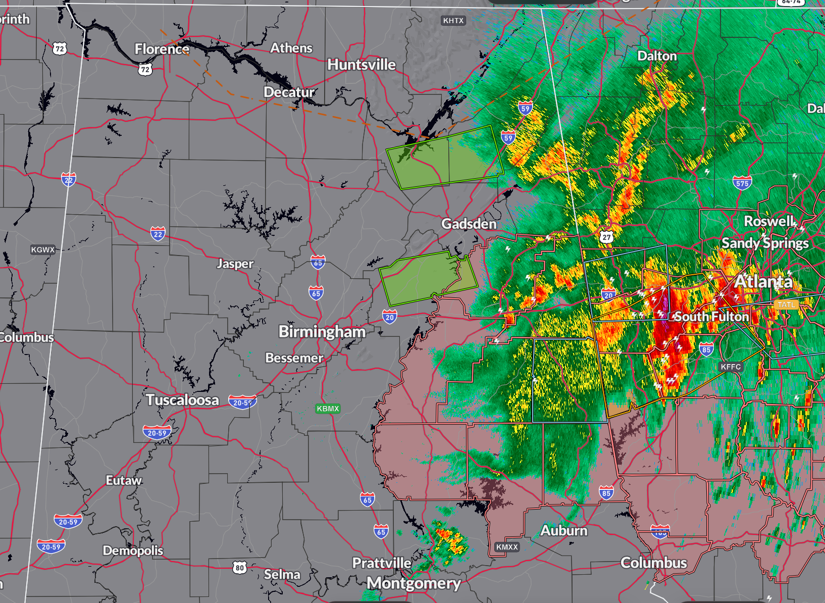
A large area of light to moderate rain covers areas from Jackson and DeKalb Counties in Northeast Alabama through Cherokee and Etowah, Tino Talladega, Clay, and Randolph counties, down to Coosa, Tallapoosa, and Chambers Counties. There is still a little heavier rain over Calhoun and Cleburne Counties.
Parts of Marshall and DeKalb Counties, as well as Blount County, are under flash flood warnings.
The next question is whether the atmosphere will recover ahead of an approaching cold front in time for more strong storms later today. Our cold front is near Memphis now. A few isolated or scattered storms may form this morning behind the main rain mass and again this afternoon, either south of I=85 early in the afternoon or in the late afternoon near I-59. Those storms could be strong to severe with damaging winds and hail.
Category: Alabama's Weather, ALL POSTS, Severe Weather
About the Author (Author Profile)
Bill Murray is the President of The Weather Factory. He is the site's official weather historian and a weekend forecaster. He also anchors the site's severe weather coverage. Bill Murray is the proud holder of National Weather Association Digital Seal #0001 @wxhistorianSubscribe
If you enjoyed this article, subscribe to receive more just like it.


