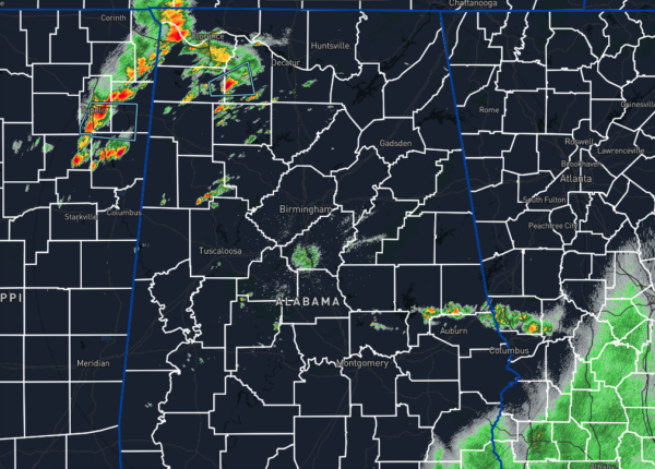
Storms Are Building Just Before Midday
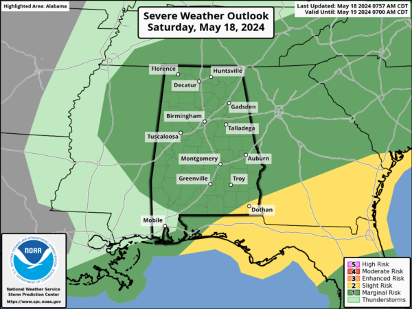
While much of the area is dry with some sunshine peaking through the clouds, an already climbing instability and higher lapse rates are allowing rain and storms to develop and move across portions of North and Central Alabama. As I mentioned in the morning briefing, ingredients will be in place for the development of a few strong and even possibly severe storms with damaging winds and up to quarter-size hail across all locations in North and Central Alabama. A marginal risk is already in place for all the area, with that main window of action being from noon through 8pm tonight. Once we get into the late-night hours, the activity will be winding down, and nearly the entire area should be dry just after midnight tonight. Temperatures were in the 70s as of 11am and will top out in the upper 70s to the lower 80s.
Now, looking ahead to Sunday, we’re expecting a big change in our weather pattern. A developing ridge will stabilize the atmosphere over Central Alabama, giving us mostly sunny skies, with only a very small chance of a shower over the extreme eastern parts of the area. Highs will top out in the lower to mid 80s.
Category: Alabama's Weather, ALL POSTS, Severe Weather


