Mother’s Day Brunch Update: 11:45 a.m.
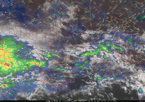
Here’s an update on the Alabama weather situation as of 1145 on this Mother’s Day.
Several patches of illegal showers are moving across south Central Alabama at this hour. We call them illegal in the Weather Office when they are not forecast. They extend from Southern Wilcox and Northern Monroe county through Butler, Montgomery, Crenshaw, Pike, Macon, Bullock, and Barbour counties.
South of this batch of rain there are some showers over Escambia, Dale, and Henry counties. Everything is moving to the east. Rainfall amounts are fairly light except over Butler Lowndes, Crenshaw, and Montgomery Counties, where they are slightly heavier.
Skies across are mostly cloudy at this hour, at least over the southern 2/3 of the state where the clouds are a little thinner. Up to the Tennessee border, temperatures are generally in the 70s, with a few 60s over south central Alabama, where the rain has been more prevalent. The warmest spot in the state right now is 78° at Cairns Army Airfield in Ozark. Central Alabama temperatures include 70 at Anniston, 72 at Birmingham, and 73 at Tuscaloosa.
A larger batch of showers will reach Western Alabama this evening between 7 and 9 PM. This activity will spread across the state during the overnight hours with most folks seeing a little bit of rain. Rainfall amount should be fairly light around 0.15 inches.
Stronger showers and thunderstorms will move into Southwestern Alabama during the predawn hours tomorrow and they will affect mainly areas From Jackson to Monroeville to Troy and point south. These storms should weaken before they move into Alabama.
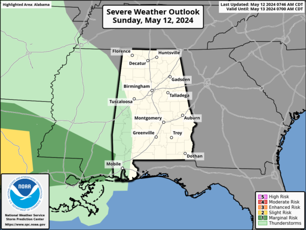
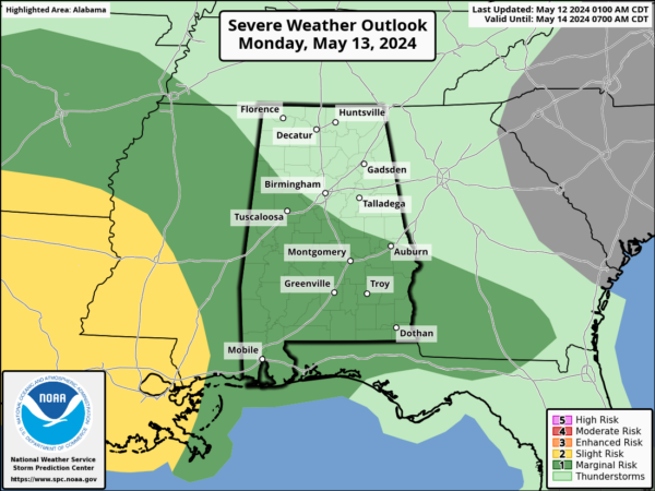
Here is the day one for the predawn hours on Monday:
Storms will move along the Gulf coast during the morning and early afternoon hours.
An additional complex of thunderstorms will reach Alabama Monday evening, and this could bring more severe weather. Strong thunderstorms are generally along and south of I-20 during the evening hours on Monday night. The SPC has a marginal risk up for southern Alabama.
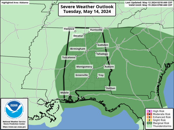
Finally another band will move through during the early morning hours on Tuesday and storms along the Gulf Coast could be strong to severe. The SPC does have a severe weather area outlooked for Tuesday as a marginal risk.
Category: Alabama's Weather, ALL POSTS, Severe Weather


