Midday Nowcast: Very Warm with Storms at Times
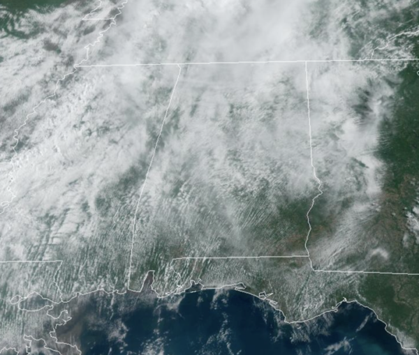
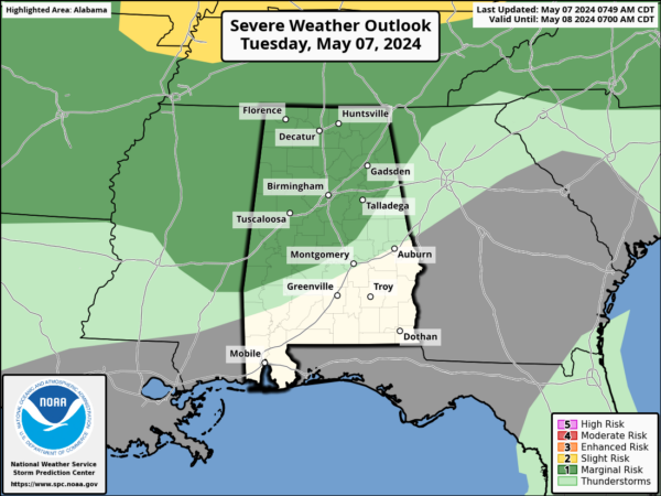
Today we are seeing a mix of sun and clouds and very warm temperatures with temperatures well into the mid and upper 80s this afternoon. Scattered, random showers and storms will once again be on the radar this afternoon and evening across the state. A few strong storms are possible, and we note the SPC has a “marginal risk” (level 1 of 5) of severe storms tomorrow for much of the state.
If there are any severe storms, the threat will be hail and gusty winds. Of course, warm season storms are prolific rain producers, so don’t be surprised if there are areas of isolated flash flooding.
BIRMINGHAM ALMANAC: For May 7th, the average high for Birmingham is 80° and the average low is 58°. The record high is 91° set in 1962, while the record low is 37° set in 1944. We average 0.15” of precipitation on this date, and the record value is 5.71” set in 2003.
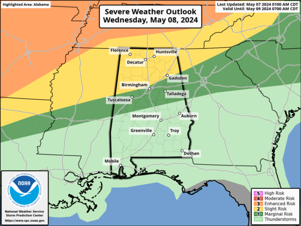
TOMORROW/THURSDAY: Tomorrow will be very warm with many places flirting with 90°. This will make the air unstable, and will open the door for more strong to severe thunderstorms to roll into Alabama tomorrow night.
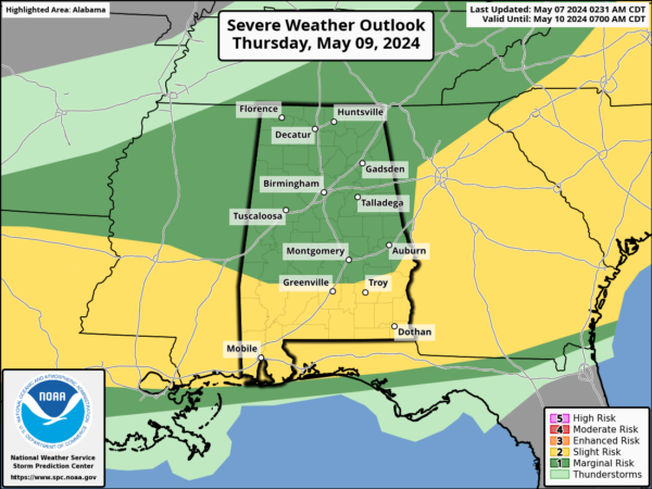
The SPC has defined a severe weather threat for the northern half of the state, and the main concern will come from hail and strong winds. Some additional thunderstorms could form later in the day Thursday as a cold front pushes through the state, but most likely the atmosphere will be worked over by earlier activity, and the severe threat Thursday afternoon/evening is relatively low. The high Thursday will be in the mid 80s.
MARVELOUS MOTHER’S DAY WEEKEND: A refreshing, cool, dry airmass will drop into Alabama Friday, setting the stage for sunny pleasant days and clear cool nights all weekend long. Highs will be mostly in the 70s, with lows in the 50s. Colder spots across North Alabama could easily dip into the 40s Saturday morning.
NEXT WEEK: With a complex pattern forecast confidence isn’t especially high; global models suggest the better chance of rain during the week will come on Tuesday, and then again Thursday night and Friday. Highs will be mostly in the low 80s.
BEACH FORECAST CENTER: Get the latest weather and rip current forecasts for the beaches from Fort Morgan to Panama City on our Beach Forecast Center page. There, you can select the forecast of the region that you are interested in visiting.
WORLD TEMPERATURE EXTREMES: Over the last 24 hours, the highest observation outside the U.S. was 126.1F at Joba, Oman. The lowest observation was -95.4F at Concordia, Antarctica.
CONTIGUOUS TEMPERATURE EXTREMES: Over the last 24 hours, the highest observation was 107F at Rio Grande Village, TX. The lowest observation was 10F at Berthoud Pass, CO.
Category: Alabama's Weather, ALL POSTS


