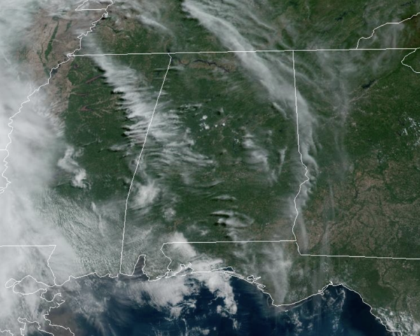
Midday Nowcast: Very Warm May Day
Plenty of sunshine and very warm temperatures across Alabama with highs surging into the upper 80s and some spots are seeing low 90s. Rain chances are not zero, but generally less than 10% this afternoon and evening. A few showers are possible overnight tonight.
BIRMINGHAM ALMANAC: For May 1st, the average high for Birmingham is 79° and the average low is 57°. The record high is 92° set in 1901, while the record low is 38° set in 1963. We average 0.16” of precipitation on this date, and the record value is 1.95” set in 1964.
ACROSS THE USA: Active weather for the center of the nation today. Severe thunderstorms and flash flooding concerns over portions of the Central and Southern Plains into the Mississippi Valley today into tonight. Meanwhile, cool and snowy in parts of the Northwest and Great Basin with above average and potentially record breaking temperatures for the Ohio Valley and Mid-Atlantic.
TOMORROW AND THE WEEKEND: A surface front will bring some showers tomorrow afternoon and night into Alabama, but like the last front it will be decaying as it moves into the state. The remnants of the front will remain in place across the state through the weekend, and that means we will have to leave the chance for widely scattered, random showers and storms, mainly during the afternoon and evening hours. The greatest coverage will be over the northern half of the state, and the weekend certainly won’t be a wash-out, but expect some rain at times. Highs will be in the mid 80s and we will see sun at times.
NEXT WEEK: Warm weather continues with highs in the 80s and perhaps low 90s. A fairly moist airmass will be in place, meaning some risk of at least scattered showers on most days, but again, nothing widespread. This is an early summer-preview for Alabama. With the main storm track well to the west and north of Alabama, we still see no sign of any high impact weather event for our state through the week (flooding, severe storms, etc).
BEACH FORECAST CENTER: Get the latest weather and rip current forecasts for the beaches from Fort Morgan to Panama City on our Beach Forecast Center page. There, you can select the forecast of the region that you are interested in visiting.
WORLD TEMPERATURE EXTREMES: Over the last 24 hours, the highest observation outside the U.S. was 120.2F at Joba, Oman. The lowest observation was -99.0F at Concordia, Antarctica.
CONTIGUOUS TEMPERATURE EXTREMES: Over the last 24 hours, the highest observation was 107F at Rio Grande Village, TX. The lowest observation was -2F at Peter Sinks, UT.
Category: Alabama's Weather, ALL POSTS


