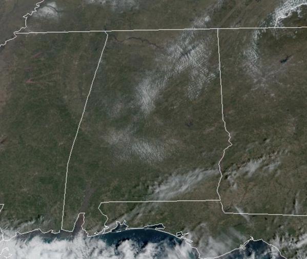
Midday Nowcast: Sunshine is Back!
Today is sunny and cooler with a high in the 50s for most communities. Dry weather continues tomorrow and Thursday with highs back in the 60s. Nights will be clear and cold with lows in the lower and mid 30s.
USA BRIEF: A Nor’easter will bring strong winds and heavy snowfall from the central Appalachians through southern New England today which could damage trees, power lines, and disrupt travel. Coastal flooding is expected along portions of the East Coast. A storm will move into the Northwest Wednesday, bringing areas of heavy rainfall to the coastal ranges, and heavy snow to the Cascades.
FRIDY FRONT: We will bring in a chance of rain late Friday and Friday night ahead of a cold front. Moisture will be limited, and rain amounts should be 1/2 inch or less. No risk of severe storms.
THE ALBAMA WEEKEND: Rain will end Saturday morning for most of the state, although lingering showers are possible during the afternoon and evening hours near the Gulf Coast. The day will be cooler with a high in the 50s. Then, on Sunday, we expect sunshine in full supply with highs remaining in the 50s. North Alabama communities will likely see a freeze early Sunday morning.
INTO NEXT WEEK: Dry weather continues into the first of the following week with a warming trend. Still no sign of any bitterly cold Arctic air for Alabama and the Deep South.
BEACH FORECAST CENTER: Get the latest weather and rip current forecasts for the beaches from Fort Morgan to Panama City on our Beach Forecast Center page. There, you can select the forecast of the region that you are interested in visiting.
WORLD TEMPERATURE EXTREMES: Over the last 24 hours, the highest observation outside the U.S. was 115.0F at Augrabies Falls, South Africa. The lowest observation was -66.5F at Delyankir, Russia.
CONTIGUOUS TEMPERATURE EXTREMES: Over the last 24 hours, the highest observation was 88F at De Soto City, FL. The lowest observation was -8F at Kremmling, CO.
Category: Alabama's Weather, ALL POSTS


