Severe Thunderstorm Watch is Canceled, Storms Slowly Going Downhill
The Weather Service in Birmingham and Mobile just cleared all the Alabama counties that were in the severe thunderstorm watch.
The SPC has mentioned that they will not issue a new watch downstream.
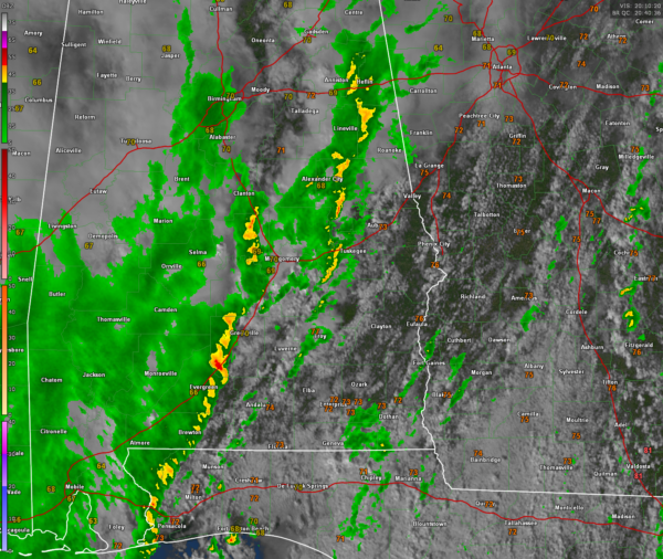
There is definitely clearing ahead of the line over Southeast quarter of Alabama. This has led to destabilization. CAPE values are now running 1000-2000 joules over much of the state, but the storms are not taking advantage. Enterprise AL is now 72F/70F. Troy is now 77F over 67F.
The reason the storms are failing to intensify is an overall weakening in large scale ascent in the atmosphere says the SPC.
There is sufficient bulk shear the further east you go in Alabama, but it is decent enough to produce some organized segments along the line.
There is 100-200 m2/s2 of low level helicity, so can’t rule out a brief tornado, but that likelihood seems very small.
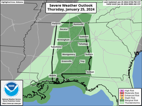
The SPC has downgraded the Day One severe weather outlook to only Marginal, or level 1/5 for all of Alabama for the remainder of today.
Category: Alabama's Weather, ALL POSTS, Severe Weather


