Midday Nowcast: Out of the Deep Freeze
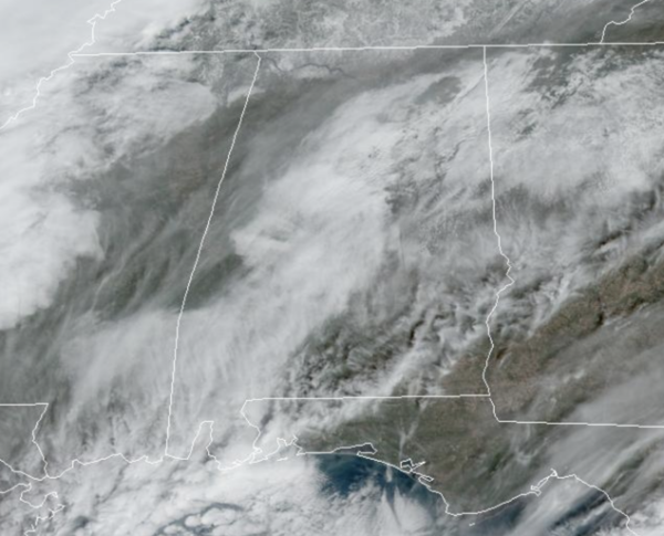
Big changes in the weather for Alabama this week as we go from the bitterly cold Arctic air to more of an early spring-like pattern with much warmer temperatures. We are seeing temperatures rise into the 50s this afternoon, followed by 60s tomorrow. For the rest of the week, expect highs to range from the upper 60s to mid 70s.
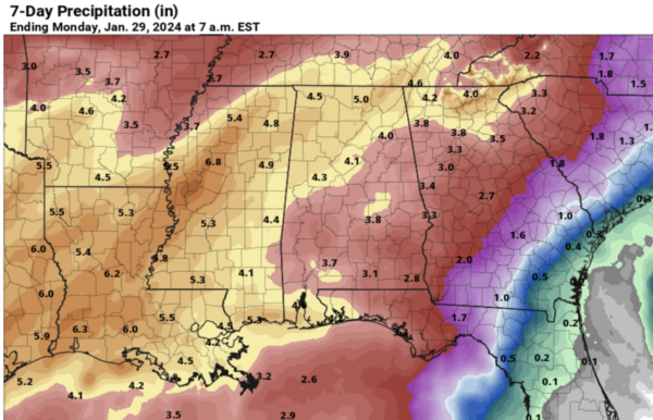
WETTER PATTERN: Along with the warm-up, we bring widespread rain back to the state. We stay dry today, with just a few isolated showers tomorrow. Midweek and beyond, a very wet period begins for Alabama. We will have occasional rain and a few thunderstorms on a daily basis Wednesday through Saturday. Rain could be heavy a times along the way, and a few flooding issues could develop as the week continues. Rainfall totals of 3-5 inches are expected across most of the state.
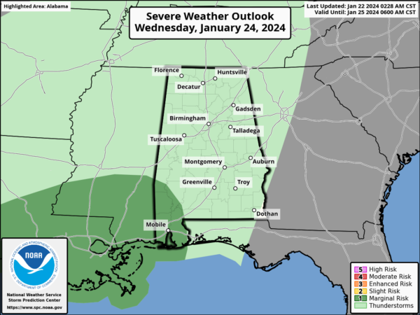
There could also be a few strong thunderstorms along the way, but these should be confined to the southern counties of the state. A “marginal risk” of severe storms has been introduced by SPC for Wednesday across Washington, Mobile, and Baldwin counties of Southwest Alabama. Stronger thunderstorms across Southwest Alabama Wednesday afternoon/night could produce strong gusty winds.
SUNDAY AND NEXT WEEK: Dry air returns to Alabama on Sunday, with a partly sunny sky along with highs in the 50s, right at seasonal levels for late January. For now much of the week the weather looks dry with highs mostly in the 50s, and lows in the 30s. This should give us a chance to dry out after the soggy week we will have most of this week.
BEACH FORECAST CENTER: Get the latest weather and rip current forecasts for the beaches from Fort Morgan to Panama City on our Beach Forecast Center page. There, you can select the forecast of the region that you are interested in visiting.
WORLD TEMPERATURE EXTREMES: Over the last 24 hours, the highest observation outside the U.S. was 119.3F at Matriouene, Algeria. The lowest observation was -68.4F at Delyankir, Russia.
CONTIGUOUS TEMPERATURE EXTREMES: Over the last 24 hours, the highest observation was 72F at numerous locations across Florida. The lowest observation was -19F at Davis, WV.
Category: Alabama's Weather, ALL POSTS


