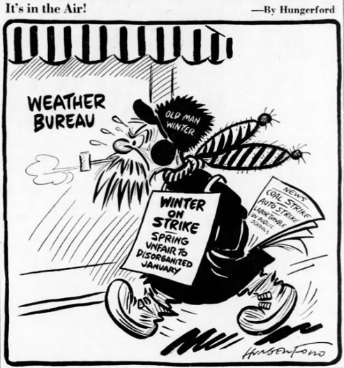
The January Thaw
The January thaw is a weather singularity. A singularity is an event that occurs more often than one would expect with chance. The January thaw is a period of above normal warmth that frequently occurs in mid-Winter in the eastern U.S. and eastern Canada. It is similar to “Second Summer”, a more appropriate name for another singularity which occurs in autumn. The January thaw usually occurs around the third week in January.
We are in the middle of our own January Thaw this week across Alabama after an extended period of cold weather across the state that has lasted nearly ten days.
It was more like a January tropical heat wave than a thaw during this week in 1950. Much of the eastern United States was experiencing temperatures 25-30 degrees above normal by my birthday, January 25th. Of course, I hadn’t been born then. Cotton was blooming in South Carolina, some five months ahead of schedule. People worried that Mother Nature was out of control.
In actuality, a strong high pressure system off the Atlantic Coast was responsible for the 1950 January thaw. A very high amplitude pattern featured a big upper level ridge over the East and a very deep trough over the western U.S. The strong surface high was producing a strong southerly flow that bathed much of the eastern United States in warmth. High temperatures on the 25th included 87F in Del Rio, Texas; 83F in Little Rock; 78F in Nashville; 74F in Columbus, Ohio; 78F in Washington, D.C. and 80F in Augusta, Georgia. It was 78F in Birmingham and 80F in Montgomery. Birmingham recorded record highs on the 24th (78F), 25th (78F), and the 26th (76F).
Several January high temperature records were set, including Michigan’s with 72F at Ann Arbor and Chicago with 67F.
Meanwhile, bitter cold and snow was occurring over the Northern Plains. Morning lows on the 25th included -34F at Williston, North Dakota and -32F in Glasgow, Montana.
Category: Alabama's Weather, ALL POSTS, Headlines, Met 101/Weather History


