Midday Nowcast: Sunshine in Full Supply; Rain Returns Tomorrow
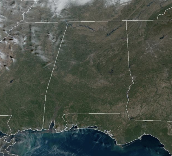
Tons of sunshine in the Alabama sky today, it was a cold start to the day, and we are seeing afternoon temperatures only in the upper 40s and lower 50s across Alabama today. Tonight, clouds will begin to increase ahead of our next storm system.
ACROSS THE USA: A strong Pacific storm will move across the Aleutian Islands of Alaska and into the Bering Sea today into Thursday before dissipating over Southwest Alaska on Friday. Strong winds, accumulating snow, and coastal impacts are expected. A Pacific storm will bring moderate to locally heavy rainfall, coastal impacts, and mountain snow as it crosses the Western U.S. today into Thursday.
WET & COLD WEDNESDAY: A weak surface low will develop in the northern Gulf of Mexico tonight, and will spread light rain into Alabama tomorrow morning. We note there could be a little sleet as the precipitation begins during the morning hours thanks to evaporative cooling, but there won’t be any impact if we see a few ice pellets. The most widespread rain tomorrow will be over the southern 2/3 of the state, and rain amounts will be light, mostly under 1/2 inch. It will be a cold rain with temperatures hovering around 40° much of the day.
THURSDAY/FRIDAY: Dry air will return and both days will be mainly sunny with highs in the low to upper 50s. Lows will continue to be around the freezing mark each morning. Late in the day Friday, a dynamic weather system will bring clouds back into Alabama, with a widespread soaking rain likely Friday night into Saturday morning.
VERY WET: The global models are trending faster with this feature and the rain could begin to arrive as early as 8PM Friday night. The rain will continue to overspread the state overnight, lingering into Saturday morning. Rain amounts of 1-2 inches are likely,
REST OF WEEKEND: The rain should be out of the state by Saturday afternoon, and Sunday looks dry with a mostly sunny sky. Highs will be in the 50s over the weekend, right at seasonal averages for early January.
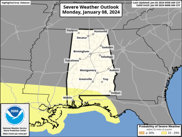
INTO NEXT WEEK: The daytime hours Monday will be mostly dry, but another dynamic system will bring another big rain event to the Deep South Monday night into Tuesday. This one also has potential for 1-2 inches of rain, and strong storms could be an issue for the southern counties of the state.
The SPC already has locations near Interstate 10 highlighted in a risk of severe weather on their day 7 convective outlook. Another rain producer will arrive late in the week on Friday. Highs will be mostly in the 50s through the week.
BEACH FORECAST CENTER: Get the latest weather and rip current forecasts for the beaches from Fort Morgan to Panama City on our Beach Forecast Center page. There, you can select the forecast of the region that you are interested in visiting.
WORLD TEMPERATURE EXTREMES: Over the last 24 hours, the highest observation outside the U.S. was 115.9F at Marble Bar, Australia. The lowest observation was -67.5F at Yurty, Russia.
CONTIGUOUS TEMPERATURE EXTREMES: Over the last 24 hours, the highest observation was 80F at Brownsville, TX. The lowest observation was -23F at Peter Sinks, UT.
Category: Alabama's Weather, ALL POSTS


