Midday Nowcast: Dry through Tomorrow; Rain Returns Saturday
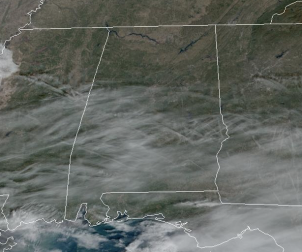
Today is another mainly sunny day with highs in the upper 50s to lower 60s across Alabama, not much change in the forecast for tomorrow. Tonight will be another chilly one with lows mainly in the 30s.
USA BRIEF: Heavy snow will slowly subside across the Southern Rockies and Southern Plains today. Energy from that system is forecast to develop a storm system in the Gulf of Mexico and track northward along the east coast this weekend. Heavy rain, a few thunderstorms, and increasing winds are in the forecast. Meanwhile, strong northeast winds will affect Hawaii through Friday alongside dangerous high surf.
WEEKEND WEATHER: A deep surface low will form in the Gulf of Mexico and spread rain north and east into Alabama on Saturday. The rain will be heavy at times, but with the low south of Alabama, there is no risk of severe storms, and probably no thunder. Rain amounts are increasing as the models are showing a much higher return of moisture with this system.
Rain amounts will be heavier over the eastern and southern counties of Alabama, where 1-2 inches are likely. The southeast corner of the state around Dothan could see over two inches. The western counties will see amounts generally around 1/2 inch. Highs this weekend will be close to 60°, with lows mostly in the 40s.
NEXT WEEK: The weather looks generally dry for much next week with near seasonal temperatures. High in the 50s and with lows in the 30s, with some morning freezes expected by midweek.
CHRISTMAS WEEK: Long range guidance continues to suggest relatively mild Pacific air will cover much of the contiguous U.S. with temperatures a little above average for late December. Much of the U.S. will likely NOT see a White Christmas this year due to the milder air mass in place. A stark contrast to the bitterly cold Arctic air that was in place last year when we were dealing with lows in the single digits and teens around Christmas. Too early to tell if rain will be an issue this Christmas.
BEACH FORECAST CENTER: Get the latest weather and rip current forecasts for the beaches from Fort Morgan to Panama City on our Beach Forecast Center page. There, you can select the forecast of the region that you are interested in visiting.
WORLD TEMPERATURE EXTREMES: Over the last 24 hours, the highest observation outside the U.S. was 111.7F at Rabbit Flat, Australia. The lowest observation was -56.0F Teplyj Klyuch, Russia.
CONTIGUOUS TEMPERATURE EXTREMES: Over the last 24 hours, the highest observation was 81F at Venice, FL. The lowest observation was -13F at Peter Sinks, UT.
Category: Alabama's Weather, ALL POSTS


