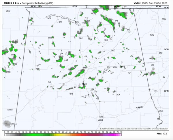
Sunday Afternoon Alabama Update: Popcorn Showers
A very deep upper level trough extends from New Englands back into the Tennessee Valley this morning with an intensifying disturbance in the base of the trough near the Missouri Bootheel.
Low clouds are a by-product of the trough and they spread southward overnight and now cover nearly all of the state of Alabama.
The other direct feature of the trough is cold air advection on the back of northwesterly winds that will gust at times to 25 mph today. Temperatures will struggle to rise very much from the morning readings. In fact, some spots in North Alabama may have already recorded their high temperatures for the day in the hours just after midnight.
Temperatures this afternoon will be in the lower 50s North, middle and upper 50s Central with a couple of the normally warmer soots reaching 60F.
One more annoyance today will be a few light popcorn showers or a little misting light rain across the area. But most spots should stay dry.
Lows tonight will be in the 40s as skies clear gradually.
Tomorrow will be nicer than today, and each day through Thursday promises to be better than the day before. Rain will return on Friday but the weekend looks nice.
Category: Alabama's Weather, ALL POSTS


