Invest 93L May Be Classified a PTC or Depression Later Today
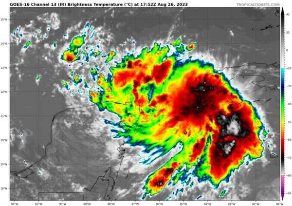
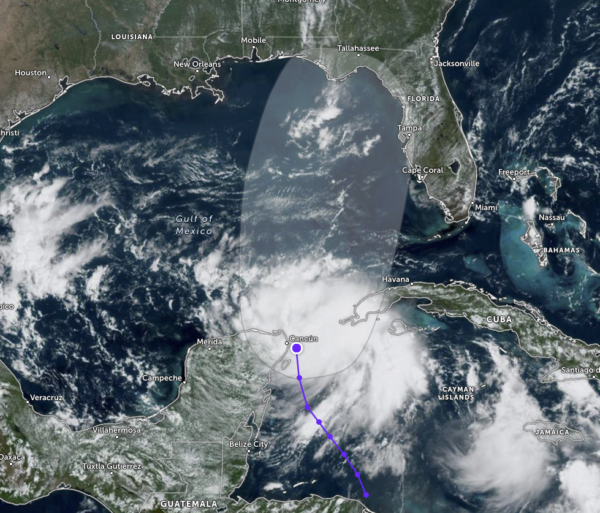
INVEST 93L: The latest update from the National Hurricane Center shows that slow organization of the convective storms around the center of the system continues, and they may start issuing advisories later today, which will have the projected path and cone on the graphics released. For now, here is the latest update from the NHC:
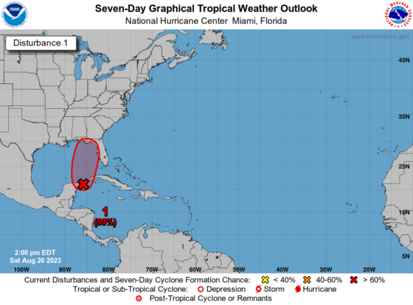
Showers and thunderstorms associated with an area of low pressure located near the Yucatán Channel continue to gradually become better organized. If this trend continues, advisories will be initiated on this system later today. The system is expected to move very slowly northward into the southeastern Gulf of Mexico during the next couple of days. Heavy rains are likely over portions of western Cuba and the Yucatán Peninsula of Mexico. Interests in the Yucatán Peninsula of Mexico, western Cuba, and Florida should monitor the progress of this system.
* Formation chance through 48 hours…high…90 percent.
* Formation chance through 7 days…high…90 percent.
Category: Alabama's Weather, ALL POSTS, Tropical


