Another Sweaty & Steamy Saturday; No New News on Invest 93L As of Now
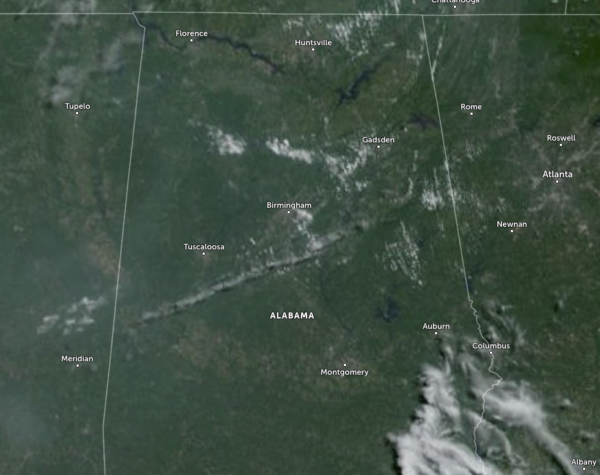
As we approach the 11 am hour across Central Alabama, it is already getting hot and causing a lot of people to sweat as soon as they walk outside. Skies are mainly sunny, with only a few fair-weather clouds floating over portions of the area. Temperatures were already in the lower to mid 90s across the area. The Shelby County Airport was the hot spot at 95º, while Cullman and Eufaula were tied as the cool spots (not cool at all) at 90º. Birmingham was already up to 93º.
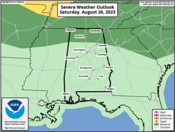
We do have a small chance of a few scattered showers and storms this afternoon, and with a very favorable environment in place for microbursts, we may see an isolated severe storm or two. For now, it looks like the best odds for a severe storm will be over the Tennessee Valley, and the Storm Prediction Center has a Marginal Risk up for those locations. However, most of the area will be dry, very hot, and very humid, as highs will reach the upper 90s to the lower 100s. Remember a Heat Advisory is out for all 67 counties of Alabama as heat index values could reach as high as 109º.
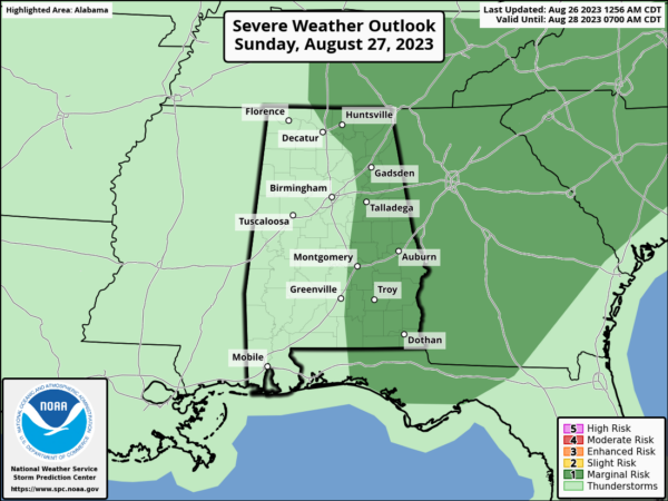
A Marginal Risk is up for locations east of a line from Decatur to Pell City to Fort Deposit for tomorrow as a surface front will be working into the area. Damaging winds and quarter-size hail will be possible in any severe storm. Much of the activity looks to take place during the afternoon and evening hours, and with a high chance of rain, there is a good possibility that a lot of you will see some precipitation. Highs will range from the lower 90s in the north to the lower 100s in the south.
INVEST 93L
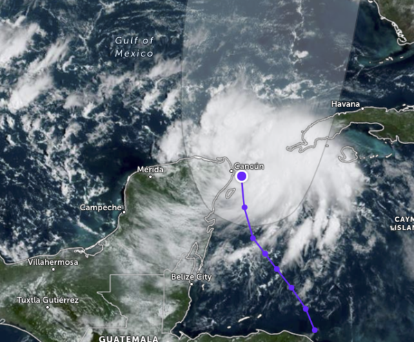
For now, I am holding off on giving any forecast updates on Invest 93L as we won’t get a new update from the National Hurricane Center until 1 pm this afternoon. The organization continues to look about the same as this morning, and the lack of that occurring may be from the land interaction with Cuba and the Yucatán Peninsula.
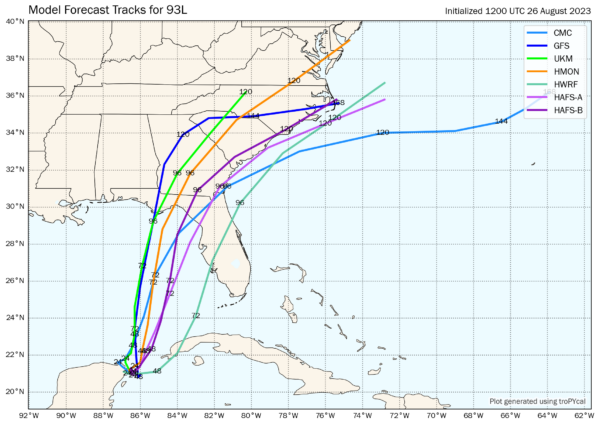
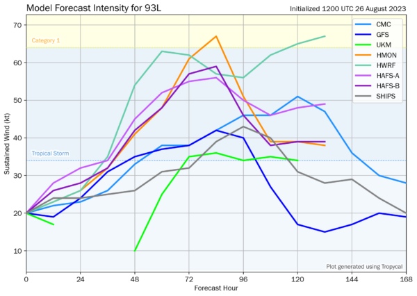
The models as of 7 am show a wide spread amongst the ensembles as landfall is projected to occur from as far west as Apalachicola, FL to as far east and south as Port Charlotte, FL. All the models have it strengthening into a tropical storm, with only two outliers taking it up to category one hurricane strength. We may see some rapid intensification on early Tuesday as it will be over water as warm as bathwater and there will virtually be no wind shear. We’ll have to wait and see what happens within the next couple of days as this continues to develop. Remember, a weaker system will most likely go more eastward, while a stronger system most likely will head more westward.
Category: Alabama's Weather, ALL POSTS, Severe Weather, Tropical


