Radar Update at 10:45 a.m.
The earlier storms in Northeast Alabama have moved into Georgia now.
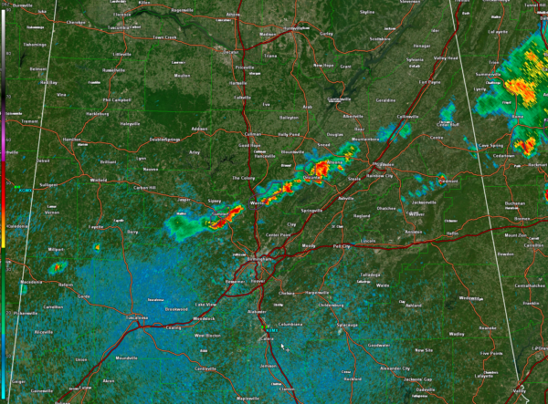
Here in Alabama, a line of showers and storms (technically they’re storms, exhibiting about 1 lightning flash per minute) extends from Walnut Grove and Altoona in Etowah County to near Oneonta to Locust Fork and Warrior to Sumiton and Dora in Walker County.
The line breaks until Fayette and northern Pickens Counties, where a couple of heavy showers are located.
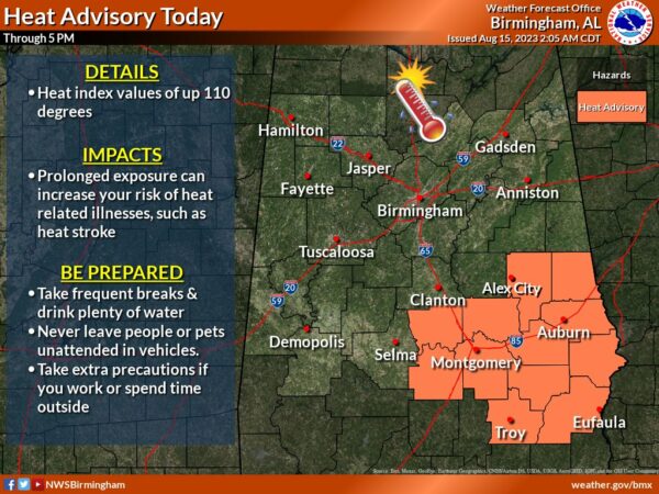
The line is pushing southeast ahead of a cool front that will change the narrative in the weather across North and Central Alabama over the next couple of days to cooler and less humid without all those heat advisories and excessive heat warnings.
Just one more day of that for southeast portions of Central Alabama.
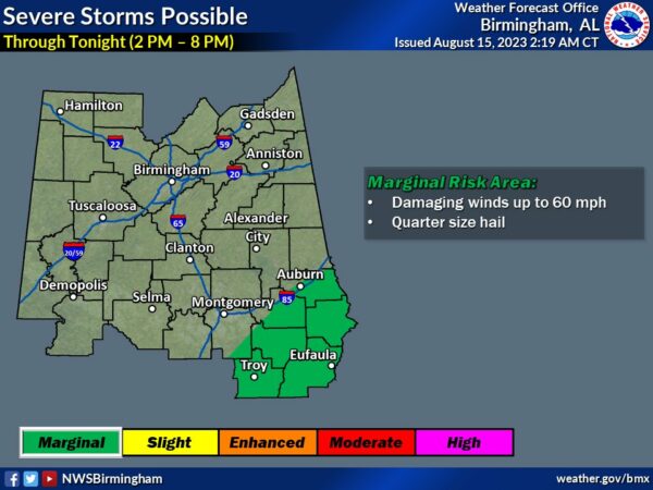
The storms are not expected to become severe until later today after 1 pm in the I-85 Corridor. There will be a marginal risk for damaging wind gusts the remainder of the afternoon for that area and points south.
Category: Alabama's Weather, ALL POSTS, Severe Weather


