Nice Outflow Boundary
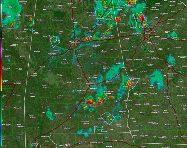
The western end of the line of storms has not been able to hold together, but it is laying down a nice outflow boundary that is pushing out of southern Jefferson County into Shelby County.
It caused a 44 mph wind gust at the Birmingham Airport. It also has some pretty cloud formations associated with it.
There is a storm over eastern Jefferson and western St. Clair counties extending from Moody to Ragland.
The main activity is over northern Calhoun and Cherokee Counties. It extends from Cedar Bluff to Centre to Jacksonville to north of Anniston.
In East Central Alabama, storms extend from Phenix City to Union Springs to Troy.
None of our storms are severe, but they will have gusty winds, lightning, and heavy rain.
The severe thunderstorm watch has been canceled for all Alabama counties.
Category: Alabama's Weather, ALL POSTS, Severe Weather


