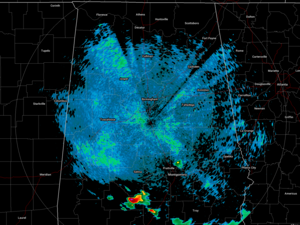
A Quick Bedtime Check on Our Weather Situation
I believe we can stick a fork in it and say our severe weather threat is over for tonight. Nearly all of the activity has either dissipated or moved south of the area. Only a small shower remains over Wetumpka, rain moving out of the extreme southern parts of Dallas and Lowndes counties.
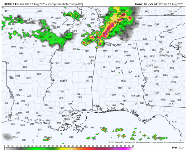
We should be quiet through the rest of tonight through the morning hours on Saturday, but the HRRR is pointing to the potential of another MCS moving into the northern parts of the state by 1-2 pm. A Marginal Risk is up from roughly 12 pm through 7 pm on Saturday for locations along and north of a line from Hamilton to Birmingham to Auburn. Damaging winds up to 60 mph and up to quarter-size hail will be the threats with tomorrow’s activity.
Another thing we’ll have to worry about is the extreme heat and high humidity levels. An Excessive Heat Warning is in effect from 10 am until 9 pm tomorrow for Autauga, Barbour, Bibb, Bullock, Chilton, Coosa, Dallas, Elmore, Fayette, Greene, Hale, Jefferson, Lamar, Lee, Lowndes, Macon, Marengo, Marion, Montgomery, Perry, Pickens, Pike, Russell, Shelby, Sumter, Tallapoosa, Tuscaloosa, Walker, and Winston counties in Central Alabama. Heat index values may reach up to 113º within these counties. A Heat Advisory is up at the same time as heat index values may reach up to 109º in Blount, Calhoun, Chambers, Cherokee, Clay, Cleburne, Etowah, Randolph, St. Clair, and Talladega counties.
Stay cool… Stay hydrated… Stay weather aware.
Category: Alabama's Weather, ALL POSTS, Severe Weather


