Heading Up to Midday – A Few Strong to Severe Storms Possible Over West Alabama
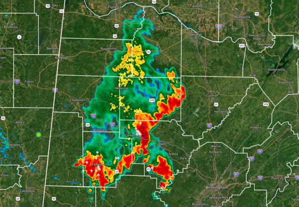
We already have rain and storms moving over the northwestern quarter of North/Central Alabama, and they are pushing to the east-southeast. They will be entering the western portions of Jefferson County and the northwestern parts of Tuscaloosa County within minutes. The rest of the area is dry at this point.
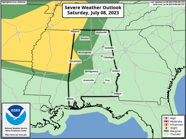
A Marginal Risk for severe storms is up for locations along and west of a line from just west of Hytop to Warrior to Billingsley to Sweet Water. A Slight Risk is up for locations along and west of a line from Florence to Shottsville, and from Vernon to Coker to just north of Cuba. Today’s threat will be from damaging winds up to 60 mph, with the window from 2 pm to 9 pm. Highs will top out in the upper 80s to the lower 90s, unless rain cooled air in your location keeps the max a little lower. No matter what, it will be humid.
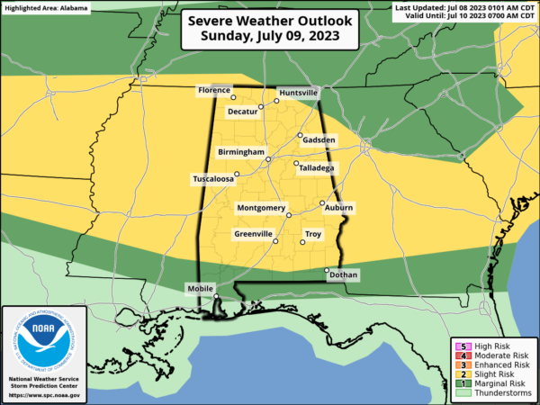
No change to tomorrow’s forecast… Wind fields will be even stronger on Sunday as a shortwave moves into the area, which will increase our risk of storms. A Slight Risk is up for nearly all of North and Central Alabama through the day, except for locations along and north of a line from Hazel Green to just south of Mentone. Damaging winds and quarter size hail will be possible. Rainfall could be heavy in stronger storms, and some localized flooding issues may occur. Highs in the lower 80s to the lower 90s.
Category: Alabama's Weather, ALL POSTS, Severe Weather


