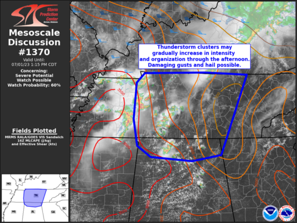
Severe Thunderstorm Watch May Be Issued Soon for North Alabama
The atmosphere across the Mid South down into Alabama is unstable this afternoon and what little of a capping inversion is eroding. As a result storms are forming and intensifying across Middle Tennessee down into North Alabama.
The storms west and south of Nashville are moving out of the severe thunderstorm watch area that was issued shortly afternoon. The SPC says that another may be needed soon across much of the rest of Middle Tennessee and the Tennessee Valley of North Alabama.
The storms have just enough speed or bulk shear to stay a little organized, so some stout updrafts may cause damaging wind gusts and small hail. There is some small potential for a bowing line of storms to form as well, and that indeed appears to be happening over Middle Tennessee now.
Of course, all the storms will have deadly lightning. With all of the outdoor activities this holiday weekend, keep your friends and families apprised of the threat.
Category: Alabama's Weather, ALL POSTS, Severe Weather


