Midday Nowcast: Daily Strong Storms through the Weekend
MORE RAIN AND STORMS: A persistent weather pattern means no real break from rain and strong storm across Alabama. The stalled frontal boundary across the Deep South continues to be a highway for strong and severe storms from Texas to Georgia. The morning rain and storms continue to push well to the south. As daytime heating increases, more scattered to numerous showers and thunderstorms will again impact Alabama. The SPC maintains a “slight risk” (level 2/5) of severe storms south of a line from York to Fort Deposit to Eufaula, and a “marginal risk” as far north as Fayette, Gardendale, and Heflin.
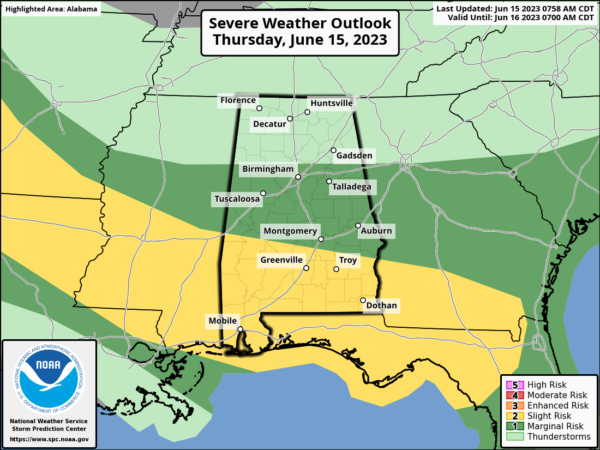
As in previous days, the main threat from stronger storms today be large hail and strong winds. The tornado threat is low, but not zero, and is mainly confined to the southern quarter of the state. Additionally, the flash flood watch remains in effect for the southern 2/3 of Alabama today, basically from I-20 south. Storms will be very efficient rain producers and could lead to areas of flash flooding.
STRONG STORMS PERSIST: The boundary will remain in place across the state, and should be in a more northwest to southeast alignment, but continuing to allow strong storms to impact Alabama.
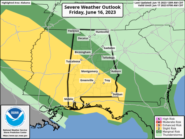
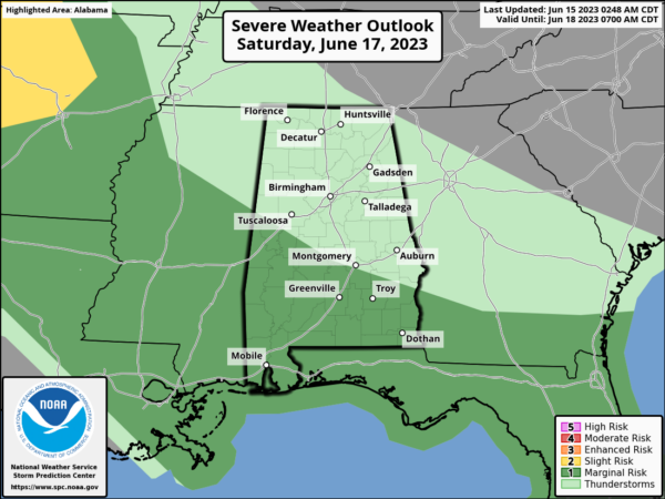
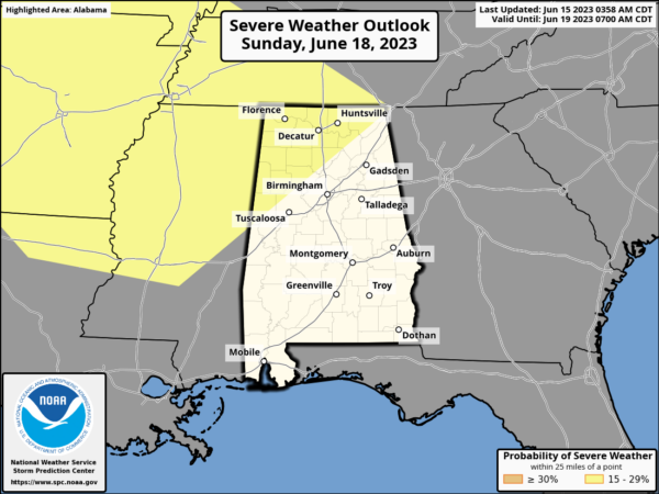
The next few days: Friday, Saturday, and Sunday, all have risk of severe weather for Alabama as strong storms will bring the threats of large hail and damaging winds, plus heavy rainfall.
Though the pattern will be active through the weekend, it will not be raining all the time. We will see a mix of sun and clouds when it is not storming with highs in the upper 80s to lower 90s.
NEXT WEEK: Fairly routine weather next week with partly to mostly sunny days, and those daily scattered, showers and thunderstorms, mainly during the afternoon and evening hours. Highs will be near seasonal values, with afternoon temperatures in the upper 80s to lower 90s.
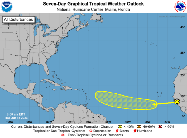
IN THE TROPICS: All is quiet in the Gulf of Mexico, Caribbean Sea, and the open waters of the Atlantic. With no development expected through the upcoming weekend. However, a tropical wave is forecast to move off the west coast of Africa later today and early Friday. Environmental conditions are expected to be conducive for gradual development of this system while it moves generally westward to west-northwestward at 15 to 20 mph across the eastern and central tropical Atlantic during the early to middle part of next week. Formation chance through 7 days…low…20 percent.
BEACH FORECAST CENTER: Get the latest weather and rip current forecasts for the beaches from Fort Morgan to Panama City on our Beach Forecast Center page. There, you can select the forecast of the region that you are interested in visiting.
WORLD TEMPERATURE EXTREMES: Over the last 24 hours, the highest observation outside the U.S. was 118.9F at Fahud, Oman. The lowest observation was -82.7F Vostok, Antarctica.
CONTIGUOUS TEMPERATURE EXTREMES: Over the last 24 hours, the highest observation was 114F at Rio Grande Village, TX. The lowest observation was 26F at Izee, OR.
Category: Alabama's Weather, ALL POSTS
About the Author (Author Profile)
Macon, Georgia Television Chief Meteorologist, Birmingham native, and long time Contributor on AlabamaWX. Stormchaser. I did not choose Weather, it chose Me. College Football Fanatic. @Ryan_StinnetSubscribe
If you enjoyed this article, subscribe to receive more just like it.


