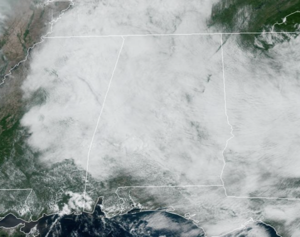
Midday Nowcast: Cloudy, but Not as Stormy Today
Fewer showers and storms on the radar today, and we continue to see an overcast sky. Later this afternoon, we should see some peeks of sunshine, to go along with only widely spaced showers and storms across the Alabama landscape. Temperatures this afternoon are ranging from the upper 70s to lower 80s.
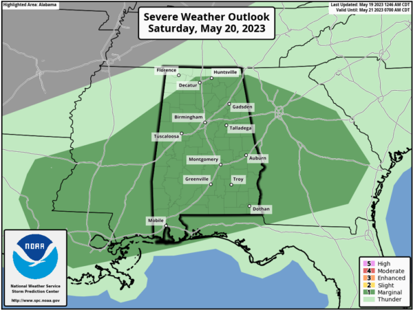
WEEKEND WEATHER: Tomorrow will be a mostly cloudy day, very warm and muggy with highs around 80°. A surface front will move into the state, bringing numerous showers and storms to Alabama. The SPC maintains nearly all of the state in a “marginal risk” (level 1/5) of severe thunderstorms tomorrow afternoon and evening.
Stronger storms tomorrow will be capable of producing strong, gusty winds and hail, but also as we have seen all week, storms will be producing tremendous amounts of lightning and rainfall. Tropical downpours can quickly lead to areas of flash flooding. It won’t rain all day and it won’t rain everywhere, but tomorrow afternoon and evening will be active on the radars across Alabama.
The front will push southeast by Sunday, allowing for drier air to settle into the northern 2/3 of the state. Sunday will be mostly sunny with lower humidity. Some showers will remain possible Sunday mainly over the East and South Alabama, and highs will be in the low 80s.
NEXT WEEK: Look for pretty routine late May weather with a mix of sun and clouds as moisture levels increase Monday and Tuesday. Scattered showers and storms will be common across the Alabama landscape, mainly during the afternoon and evening hours. Daily rain chances will be in the 30-50% range both days. For the second half of the week, rain chances look to decrease, meaning rain and storms will become fairly isolated. Afternoon highs will be in the 80s, while nights will feature 60s.
BEACH FORECAST CENTER: Get the latest weather and rip current forecasts for the beaches from Fort Morgan to Panama City on our Beach Forecast Center page. There, you can select the forecast of the region that you are interested in visiting.
WORLD TEMPERATURE EXTREMES: Over the last 24 hours, the highest observation outside the U.S. was 114.8F at Matam, Senegal. The lowest observation was -90.0F Vostok, Antarctica.
CONTIGUOUS TEMPERATURE EXTREMES: Over the last 24 hours, the highest observation was 113F at Death Valley, CA. The lowest observation was 21F at Peter Sinks, UT.
Category: Alabama's Weather, ALL POSTS


