Midday Nowcast: Muggy with Scattered Storms
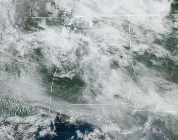
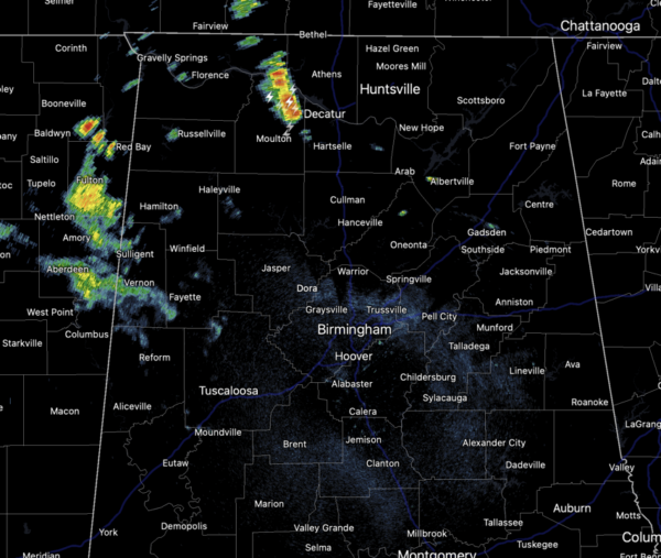
Afternoon highs today are mainly be in the mid to upper 80s across North and Central Alabama. It is muggy out there and due to high moisture content in the air, rain and storms will remain in the forecast at just about anytime, but the greatest coverage will come during the afternoon and evening hours.
Where storms develop, they will be prolific rain producers and areas of flash flooding are possible.
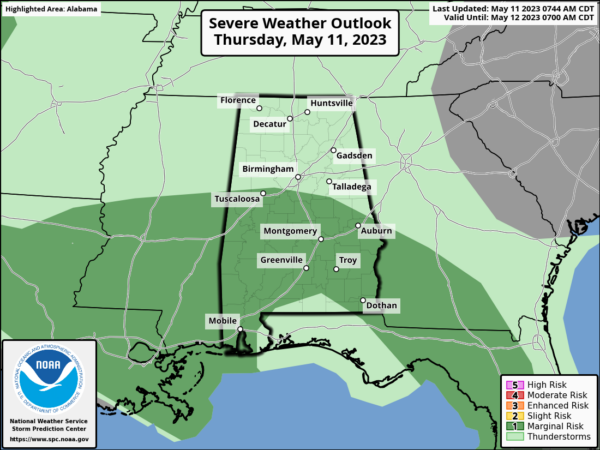
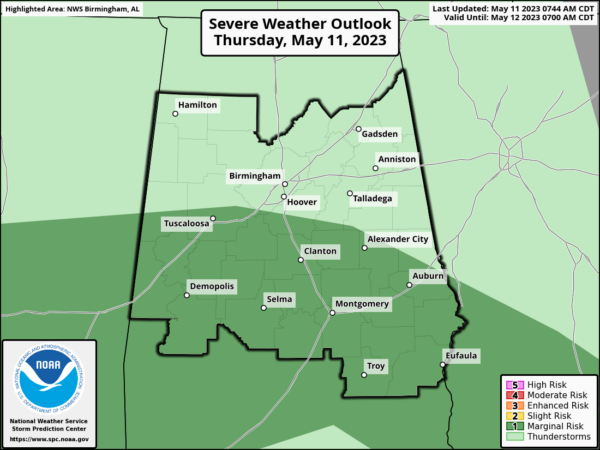
Additionally, some storms could be strong, producing small hail, gusty winds, and all summertime storms produce tremendous amounts of lightning. The SPC maintains a “marginal risk” (level 1/5) of severe thunderstorms for the southern 2/3 of Alabama today, from Birmingham south for the wind and hail threats.
Rain chances are in the 50-70% range, meaning a lot of places get wet, while some spots won’t see a drop.
ACROSS THE USA: Strong to severe thunderstorms are forecast Thursday across the central and southern Plains, where large hail and a few tornadoes can be expected along with locally damaging winds. Excessive rainfall may bring flooding to parts of lower Mississippi River Valley and central to northern High Plains on Thursday. Gusty winds will continue critical fire weather in New Mexico Thursday.
WEEKEND WEATHER: The upper ridge strengthens some and heat levels will be on the increase with afternoon highs ranging from the upper 80s to lower 90s. Both days, expect a mix of sun and clouds with some isolated showers and storms, rain chances will be in the 20-40% range.
INTO NEXT WEEK: The pattern holds into at least the early part of next week with warm, humid days and scattered showers and storms around each afternoon and highs in the mid to upper 80s. Towards the second half of the week, we could see a weak front bring lower humidity levels.
BEACH FORECAST CENTER: Get the latest weather and rip current forecasts for the beaches from Fort Morgan to Panama City on our Beach Forecast Center page. There, you can select the forecast of the region that you are interested in visiting.
WORLD TEMPERATURE EXTREMES: Over the last 24 hours, the highest observation outside the U.S. was 116.6F at Jacobabad, Pakistan. The lowest observation was -100.8F Vostok, Antarctica.
CONTIGUOUS TEMPERATURE EXTREMES: Over the last 24 hours, the highest observation was 107F at Rio Grande Village, TX. The lowest observation was 19F at Peter Sinks, UT.
Category: Alabama's Weather, ALL POSTS


