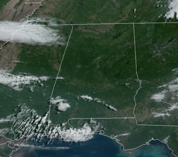
Midday Nowcast: Splendid Spring Weather
The weather this first week of May is amazing with high pressure firmly in control of our weather across Alabama and the Deep South. It is a dry air mass in place and will allow for big temperature swings from morning lows to afternoon highs. Expect clear and chilly nights, lows in the 40s, while days will be mainly sunny with highs in the 70s. Temperatures much of this week are actually several degrees below average for early May.
FRIDAY AND THE WEEKEND: Moisture levels begin to rise Friday and we will bring the chance of a few scattered showers back to the forecast, nothing especially heavy or widespread. Friday will be warmer with a high around 80 degrees. Scattered showers will remain the forecast over the weekend, but it certainly won’t be a wash-out as we could see a few intervals of sun. Some thunder will be possible, but severe storms are not expected. Highs over the weekend will be generally in the low 80s, close to average for early May in Alabama.
NEXT WEEK: A shower or two will remain possible Monday, but then the weather looks warm and dry Tuesday through Thursday with highs in the 80s. A few showers could return late in the week on Friday. No sign of any severe weather threat for Alabama for the next 7-10 days, but keep in mind our tornado season does run through the end of May.
BEACH FORECAST CENTER: Get the latest weather and rip current forecasts for the beaches from Fort Morgan to Panama City on our Beach Forecast Center page. There, you can select the forecast of the region that you are interested in visiting.
WORLD TEMPERATURE EXTREMES: Over the last 24 hours, the highest observation outside the U.S. was 115.5F at Podor, Senegal. The lowest observation was -84.3F Dome C, Antarctica.
CONTIGUOUS TEMPERATURE EXTREMES: Over the last 24 hours, the highest observation was 107F at Death Valley and Stovepipe Wells, CA. The lowest observation was 14F at Peter Sinks, UT.
Category: Alabama's Weather, ALL POSTS


