Midday Nowcast: Some Rain and Storms Today
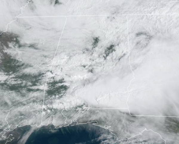
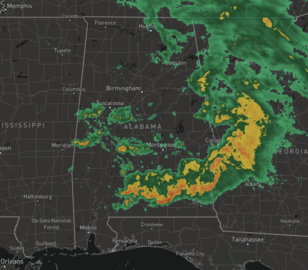
More clouds than sun today with highs in the 70s for most locations. Scattered rain and storms will continue at times this afternoon and evening for portions of North/Central Alabama and some of those storms will continue to be strong to potentially severe, especially across southern sections of the state.
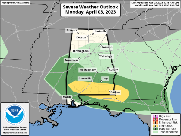
The SPC continues a “slight risk” (level 2/5) for areas along the U.S. 84 corridor from Grove Hill to Evergreen to Opp to Dothan, and a “marginal risk” (level1/5) as far north as Moundville, Montgomery, and Phenix City.
The main threats will come from hail and strong winds. However, an isolated tornado or two is possible across South Alabama in the “slight risk”.
TUESDAY: Tomorrow looks to be the driest day of the week. With a mix of sun and clouds, temperatures surge into the 80s statewide with only a few isolated afternoon showers or storms. Rain chances tomorrow are around 10%. To our west tomorrow, another outbreak of severe storms is expected up and down the Mississippi River Valley, where a “moderate risk” (level 4/5) of severe storms has been issued. The remnants of these storms will push into Alabama late Wednesday.
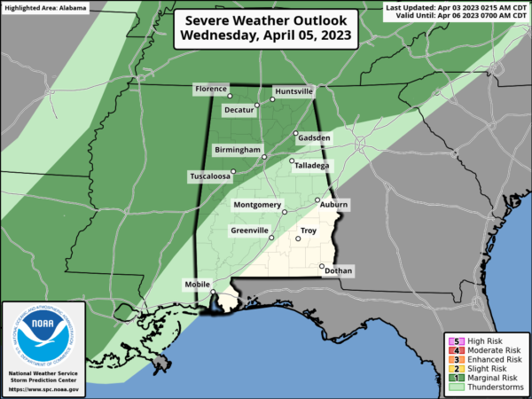
STORMS RETURN: Wednesday will be another very warm day with highs in the 80s. An organized band of showers and storms will move into the state late in the day and Wednesday night ahead of a cold front. The SPC has defined a “marginal risk” (level 1/5) north of a line from Butler to Hoover to Alexandria.
While the upper dynamic support will be lifting far north of Alabama, a few storms Wednesday night could produce strong gusty winds. The tornado threat is very low. The front will drift into Central Alabama and stall out Thursday. Periods of rain will continue through the day Thursday, and there will be a big temperature contrast with highs in the 60s for North Alabama, 70s for the central counties, and 80s for South Alabama.
FRIDAY AND EASTER WEEKEND: The front remains stalled, and occasional rain is likely Friday and Saturday with the wide temperature spread continuing. The front gets a southward push Sunday; we will keep a chance of rain going for the morning hours, but by afternoon the northern counties of the state should be dry. Some rain will remain possible across South Alabama through the afternoon with highs in the 70s.
BEACH FORECAST CENTER: Get the latest weather and rip current forecasts for the beaches from Fort Morgan to Panama City on our Beach Forecast Center page. There, you can select the forecast of the region that you are interested in visiting.
WORLD TEMPERATURE EXTREMES: Over the last 24 hours, the highest observation outside the U.S. was 113.0F at Nouakchott Oumtounsy Airport, Mauritania. The lowest observation was -72.8F Concordia, Antarctica.
CONTIGUOUS TEMPERATURE EXTREMES: Over the last 24 hours, the highest observation was 97F at Rio Grande Village and Cotulla, TX. The lowest observation was -7F at Lake Yellowstone, WY.
Category: Alabama's Weather, ALL POSTS


