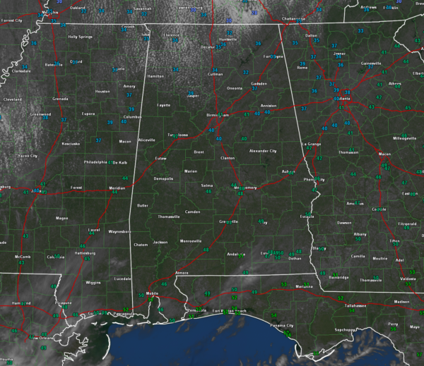
Noon Forecast Notes on a Beautiful, But Chilly Day Before the Spring Equinox
Mostly sunny skies cover Alabama on this March Sunday. Temperatures are climbing out of the 30s over the northern third of the state, and while Central sections have made it into the 40s, only South Central sections are going to reach 50F.
Some cold advection stratocumulus clouds are over the Tennessee Valley and some high clouds will move across mainly South Alabama, but in neither case will the clouds dull the sun very much. The sun is just fighting a losing battle with the cold air advection.
All of North and Central Alabama, and in fact, all of the state will be near or below freezing tonight, with most locations even 2-3 degrees colder than those of last night. Freeze warnings cover the entire state. Freeze watches are in effect for Monday night as well.
A few tweaks to Alabama’s Most Detailed Seven Day Forecast:
…It will be a windy week. Added gusty winds for Wednesday as the disturbance passes north of Alabama. Left small chance for showers in for the northern third of the state, but they won’t be significant.
…Thursday will feature highs in the 80s for Central Alabama. Tweaked Friday’s average high to 80F as well.
…There will be a threat for severe weather on Day 5 (Thursday afternoon and evening) over Oklahoma and North Texas. That risk will shift eastward to affect the northwestern half of Alabama, Tennessee, much of Mississippi, much of Louisiana, and eastern Texas. For us, the biggest threat will be Friday afternoon into Friday evening. Adjusted our severe weather threat for Friday to Slight (level 2 out of 5).
…Adjusted rainfall totals upwards for Friday and Sunday. Some spots could get an inch of rain Friday and over a half inch Sunday.
Category: Alabama's Weather, ALL POSTS


