
Clear Skies & Starting to Warm Up Outside
THE CENTRAL ALABAMA WEEKEND
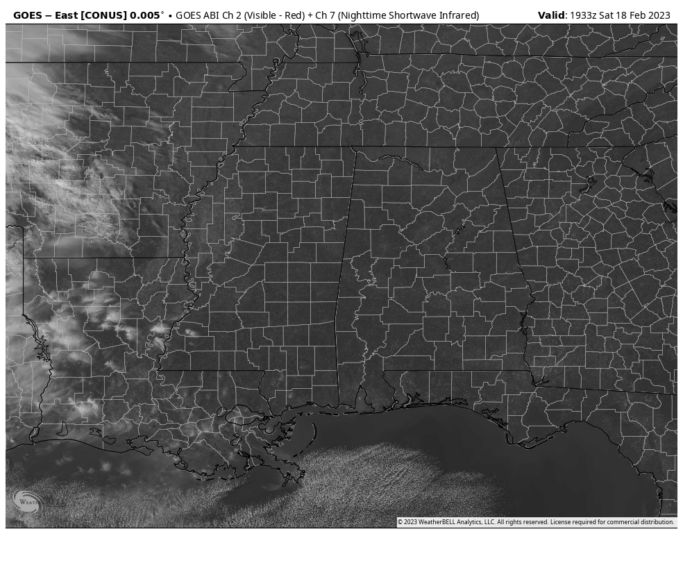
As we have moved into the early afternoon hours, skies remain full of complete sunshine across Central Alabama, and temperatures are now up in the upper 40s to the mid 50s. Afternoon highs will continue to climb until we reach the mid 50s to the lower 60s from north to south, as skies will remain sunny.
Some clouds will begin to move into the northern parts of the area later this evening and tonight, which will make the skies partly cloudy; while the southern half looks to stay mainly clear. Overnight lows will be in the 30s.
A center of high pressure will be off to our east on Sunday, which will allow a more humid and warmer flow to start across the area. We’ll have a mix of sun and clouds, with highs in the 60s, maybe touching 70 in a few locations in the south.
THE WORK WEEK AHEAD
The flow becomes more zonal on Monday and a shortwave will be heading in our direction and a warm front will stall out to our north. That will allow for a chance of a few showers in the northern parts of the area during the evening and late night hours. Highs in the mid 60s to the upper 70s.
That shortwave will move north of the area on Tuesday as upper-level ridging over the Caribbean will push more warm and moist air into the area. Skies will be partly to mostly cloudy and there may be a few scattered showers around. Highs in the lower 70s to the lower 80s.
Another surface low will try to move into the area on Wednesday afternoon, but the ridging will push much of its energy to the north of us. Rain will begin to move in late, but looks to mostly affect locations north of I-59. No severe weather is expected, and highs will be in the upper 70s to the mid 80s.
The activity will move out early on Thursday morning, leading to a mix of sun and clouds and the warmest temperatures we have seen so far in 2023. However, a weak cold front will move through the area during the nighttime hours that may bring a chance of a few showers. Highs in the lower to mid 80s.
And at the end of the forecast period on Friday… Temperatures will be slightly cooler as skies will begin to gradually clear out. We may have a leftover shower during the pre-dawn hours, but dry weather is expected for the remainder of the day. Highs in the mid 60s to the lower 80s.
Category: Alabama's Weather, ALL POSTS
About the Author (Author Profile)
Scott Martin is an operational meteorologist, professional graphic artist, musician, husband, and father. Not only is Scott a member of the National Weather Association, but he is also the Central Alabama Chapter of the NWA president. Scott is also the co-founder of Racecast Weather, which provides forecasts for many racing series across the USA. He also supplies forecasts for the BassMaster Elite Series events including the BassMaster Classic.Subscribe
If you enjoyed this article, subscribe to receive more just like it.


