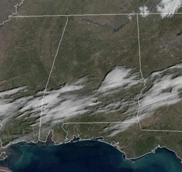
Midday Nowcast: Sun-filled Friday
After the cold start to the day, we are seeing a nice warm-up this afternoon with temperatures surging into the low and mid-50s. Tonight will be another cold one with upper 20s and lower 30s.
USA BRIEF: A strong cold front will sag south across the central U.S. today through this weekend with heavy snow and gusty winds from the northern Rockies into the central Plains, Great Lakes, and eventually the Northeast. Much below normal temperatures will spread across much of the northwest and north-central U.S. this weekend into next week. Heavy rain near the Gulf may bring flooding in the South.
WEEKEND WEATHER: Tomorrow will be dry with highs in the 50s and 60s, but clouds begin to increase, and wet weather returns to the state Sunday with periods of rain. Some thunder is possible, but there is no risk of severe storms with highs in the 50s. Rainfall amounts should be around one inch.
NEXT WEEK: Showers could linger into Monday morning, but a decent part of the day should be dry. Then, we will deal with periods of rain Tuesday, Wednesday, and Thursday thanks to stalled surface front nearby. Some flooding issues could develop in this wet pattern before the rain ends, but no severe storms are expected with a cool, stable airmass holding in place. Drier, colder air returns Friday with a clearing sky. Highs for most places will be in the 50s during the week…
BEACH FORECAST CENTER: Get the latest weather and rip current forecasts for the beaches from Fort Morgan to Panama City on our Beach Forecast Center page. There, you can select the forecast of the region that you are interested in visiting.
WORLD TEMPERATURE EXTREMES: Over the last 24 hours, the highest observation outside the U.S. was 112.3F at Ceduna Airport, Australia. The lowest observation was -72.8F at Tongulah, Russia.
CONTIGUOUS TEMPERATURE EXTREMES: Over the last 24 hours, the highest observation was 84F at Fort Lauderdale, FL. The lowest observation was -15F at Seagull Lake, MN.
Category: Alabama's Weather, ALL POSTS


