Sunday Afternoon Update: Total Sunshine!
It’s a case of severe clear across the entire state of Alabama this Sunday afternoon. Temperatures have climbed out of the 40s in all areas now except for Scottsboro in Jackson County, where it was still 48F at 1 p.m. Everyone else is in the 50s.
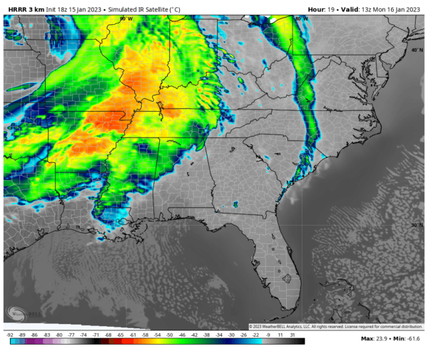
The completely clear conditions won’t last long, however, as you can see some clouds to the west, poised to enter Alabama. They probably won’t make it in time to dress up your sunset shots however, and may hold off until after 9 p.m.
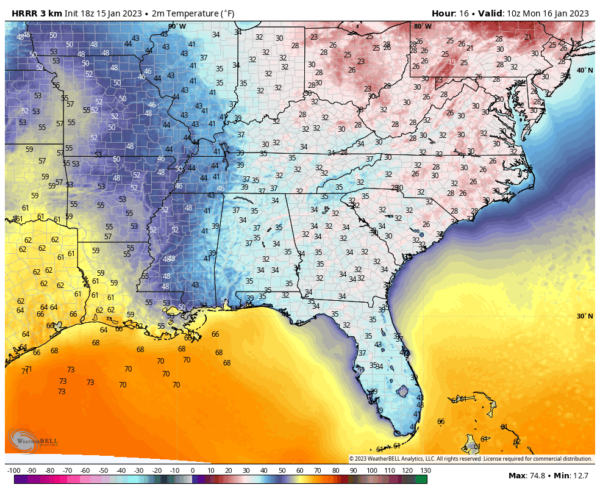
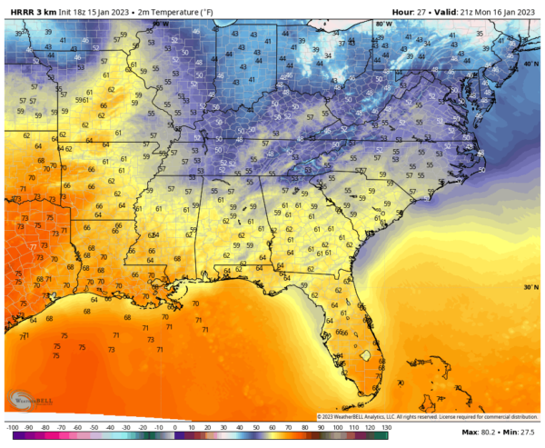
You will wake to some sun except over western sections, and skies will become cloudy fairly quickly Monday morning. After lows in the 30s areawide, highs on Monday will be in the upper 50s northeast and lower 60s southwest.
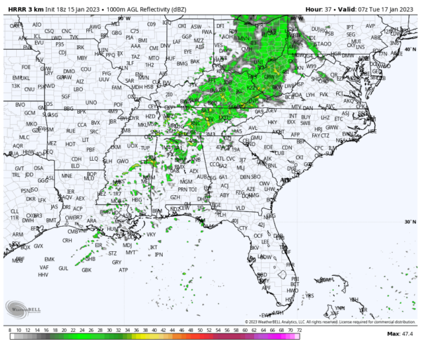
Showers will begin to move in during the late afternoon, with the best rain chances after midnight:
There shouldn’t be enough instability for any thunder Monday night into Tuesday morning.
Severe weather is expected to our west Wednesday afternoon and night, and some of that activity will limp in here early Thursday moring. There could be a few strong storms over South and Southeast Alabama Thursday afternoon.
Category: ALL POSTS


