Midday Nowcast: Sunshine in Full Supply
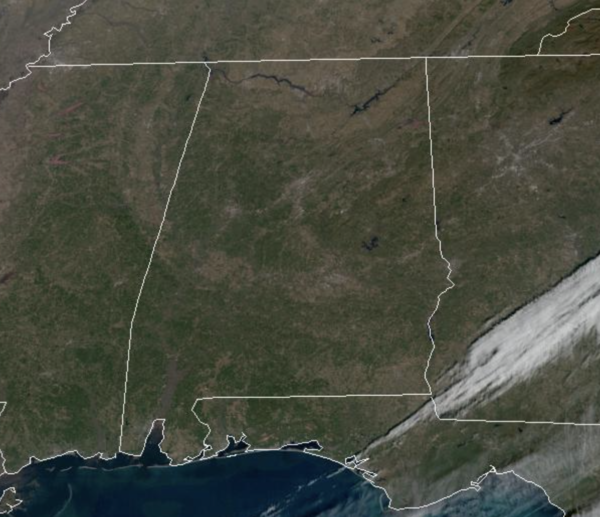
High pressure is firmly in control of our weather today and tomorrow across the Southeast allowing for abundant sunshine and average temperatures for early January; highs in the upper 50s to low 60s, lows in the 30s. This pattern will hold for Saturday as well, and highs will reach the 60s.
ELSEWHERE IN THE USA: The atmospheric river event in California continues today with flash flood risks from northern to southern California, heavy snow for the Sierra and northern and southern California mountains, and high wind warnings and wind advisories remain in effect for much of the state. Another system with a stream of moisture will arrive late tomorrow into the weekend for the Golden state.
SOME WEEKEND SHOWERS: Clouds will begin to increase late Saturday, and a few showers could reach the northwest counties late. Saturday night and at times Sunday, showers are expected across the northern half of the state as upper-level disturbance moves through the state. There is no risk of severe storms, and probably no thunder. Rain amounts will be light with limited moisture, generally 1/4 inch or less. With the clouds and scattered showers, highs Sunday will fall back into the 50s.
NEXT WEEK: Much of the week looks dry with seasonal temperatures. A few showers are possible near the Gulf Coast Monday, and a cold front will bring a chance of showers by the end of the week Friday. For now we aren’t expecting a severe weather threat Friday, although some thunder is possible. And, still no sign of any bitterly cold Arctic air for the Deep South through mid-month.
BEACH FORECAST CENTER: Get the latest weather and rip current forecasts for the beaches from Fort Morgan to Panama City on our Beach Forecast Center page. There, you can select the forecast of the region that you are interested in visiting.
WORLD TEMPERATURE EXTREMES: Over the last 24 hours, the highest observation outside the U.S. was 113.0F at Port Headland, Australia. The lowest observation was -67.0F at Dzalinda, Russia.
CONTIGUOUS TEMPERATURE EXTREMES: Over the last 24 hours, the highest observation was 88F at Immokalee, FL. The lowest observation was -14F at Big Piney, WY.
Category: Alabama's Weather, ALL POSTS


