Late Night Arctic Blast Update for North/Central Alabama
There will be a huge swing in temperatures across North/Central Alabama from what we’ll see for daytime highs on Thursday to what we’ll see for early morning lows on Friday morning. Dangerous wind chills will be experienced as well as winds will be gusting up to 30-35 mph at times. Here is what the models are showing us…
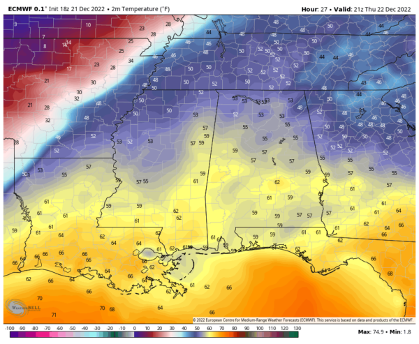
Above is the latest run from the European model, and it shows daytime highs on Thursday reaching the lower 50s to the lower 60s across the area. It also clearly shows the drastic temperature change with the cold front off to our west. Temperatures drop around 20-25 degrees from just ahead of the front to just 50 miles behind the front. I wouldn’t be surprised if that drop occurs within a 60-90 minute period.
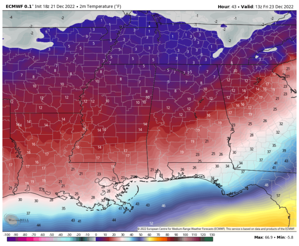
This image shows the morning lows on Friday morning. As you can see, lows will be down in the single digits to the lower 20s from north to south. The amazing part is that wind chills in the Tennessee Valley may reach as low as -10º to -15º, with the northern half of Central Alabama as low as -5º to -10º.
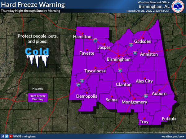
This is a very dangerous situation approaching as gusty winds could knock power out in some locations, and mix that with subfreezing temperatures and wind chills below zero, hypothermia and frost bite become big concerns. Here are the latest watch, warning, and advisory graphics from NWS Birmingham and NWS Huntsville…
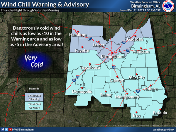 Central Alabama Watches, Warnings, & Advisories
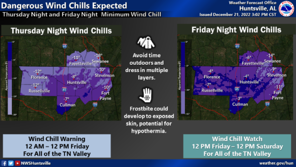 Tennessee Valley Watches & Warnings
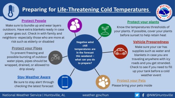
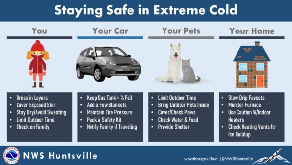
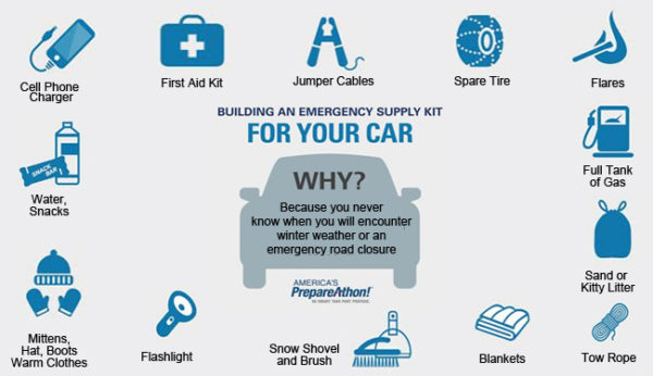
Below are some helpful graphics on preparing for this extreme cold weather event. Please check on the elderly, protect your exposed outdoor pipes, bring pets indoors, and protect your sensitive plants. This cold snap will last through the weekend, but look for highs returning to the 60s by next Friday.
Category: Alabama's Weather, ALL POSTS, Winter Weather

