Rain At Times Tomorrow; Mostly Dry Sunday
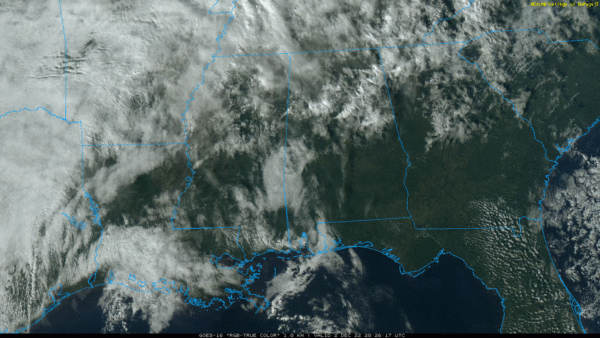
THIS AFTERNOON: We have a mix of sun and clouds across Alabama this afternoon, temperatures are in the 60s over North Alabama, and close to 70 over the southern counties of the state. We continue to see a few sprinkles on radar, but most places are dry. Clouds increase tonight with a low in the 55-62 degree range.
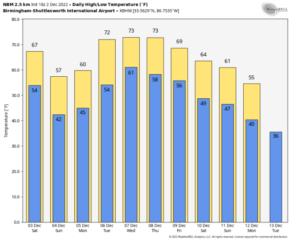
Tomorrow will be a cloudy day with occasional showers. Not an all day rain, no risk of severe storms, and probably not much thunder. The high will be 65-70 over North Alabama, with low 70s possible to the south. Then, on Sunday, the surface front will drift down into far South Alabama, and most of the state will be dry with lingering clouds and highs in the 50s.
NEXT WEEK: The front will drift northward early next week as a warm front, meaning some rain at times Monday through Wednesday. The high Monday will be in the 50s over North Alabama; warmer air over South Alabama will persist with highs over 70. Then, we expect highs in the 70s statewide Tuesday through Thursday. Temperatures trend a bit cooler Friday, and for now Thursday and Friday look generally dry. No sign of any bitterly cold air for the next 7-10 days… See the daily Weather Briefing video for maps, graphics, and more details.
RAIN UPDATE: Here are rain totals for the year so far, and the departure from average….
Birmingham 59.84″ (+7.95″)
Mobile 59.57″ (-2.20″)
Tuscaloosa 55.42″ (+6.81″)
Montgomery 51.95″ (+5.65″)
Huntsville 48.74″ (+0.14″)
Muscle Shoals 45.74″ (-3.20″)
Anniston 44.78″ (-2.88″)
Dothan 43.34″ (-5.88″)
ON THIS DATE IN 1896: Early season snow and ice storm struck the southeastern U.S. Eleven inches of snow fell at Charlotte, NC, and 6 inches at Atlanta, GA. Part of North and East Alabama had light snow, but the heavier amounts were east of the state.
BEACH FORECAST: Click here to see the AlabamaWx Beach Forecast Center page.
Look for my next Weather Briefing video here by 6:00 a.m. Monday… enjoy the weekend!
Category: Alabama's Weather, ALL POSTS, Weather Xtreme Videos


