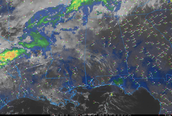
Sunday Brunch Update: Cold Front Coming
A very nice Sunday is in progress across North and Central Alabama. Filtered sunshine through high cirrus clouds is allowing temperatures to warm into the 70s in all locations, headed for highs between 80-84F.
Our cold front lies just north of the Tennessee border, back into northern Arkansas. A weak low-pressure system is near Memphis. The front will finally start to move south later today and will be south of Birmingham by morning.
Indications are that the afternoon and much of the early evening will be dry. There could be a few showers along the front later this evening into the pre-dawn hours.
Temperatures by morning will be in the 50s and lower 60s. The northwestern part of the state stays in the 60s all day tomorrow, while Central ALabama should recover into the lower 70s. Lows Tuesday morning will be in the 30s over North Alabama, with lower 40s south of Birmingham. Tuesday highs will stay in the 50s and we will see the coldest nigh of the season so far Tuesday night. Lows will range from 28-30F over the northern third of the area, with lower 30s in the I-20 Corrior. Temperatures are low as 33-34 will reach as far south as Montgomery with readings of 34-37 all the way to coastal section.
Category: Alabama's Weather, ALL POSTS


