Showers & Storms Likely Today, with Rain Chances Decreasing Through Midweek
THIS WEEKEND: A stationary front continues to be located across the Tennessee Valley in the northern parts of the state, which will allow for the formation of scattered to numerous showers and storms along and south of the front throughout your Saturday, with most activity firing up as we approach the afternoon. A couple of storms may become strong and there may be one or two localized flooding issues. Highs will be in the mid 80s to the lower 90s.
The front shifts slightly northward on Sunday that will shift much of the scattered thunderstorm activity north of the I-20 corridor. Once again, a strong storm or two may be possible. Highs will be in the mid 80s to the mid 90s.
THE FIRST WEEK OF AUGUST: It will really be the same story on Monday with scattered storms likely over the northern parts of the area while the rest of Central Alabama will stay mainly dry with only a few isolated showers. Highs in the mid 80s to the mid 90s.
A weak trough will move into the area that will allow for more scattered thunderstorm activity on Tuesday, mainly during the afternoon and evening hours. The higher rain chances will be over the west and southwestern parts of the area. Highs in the lower to mid 90s.
Wednesday through Friday look to be more typical summer weather days across Central Alabama as the pattern weakens and there will be little in the way of forcing. You can expect the daily dose of sun with only a small chance of a few isolated showers and storms on each day, with highs in the lower to mid 90s.
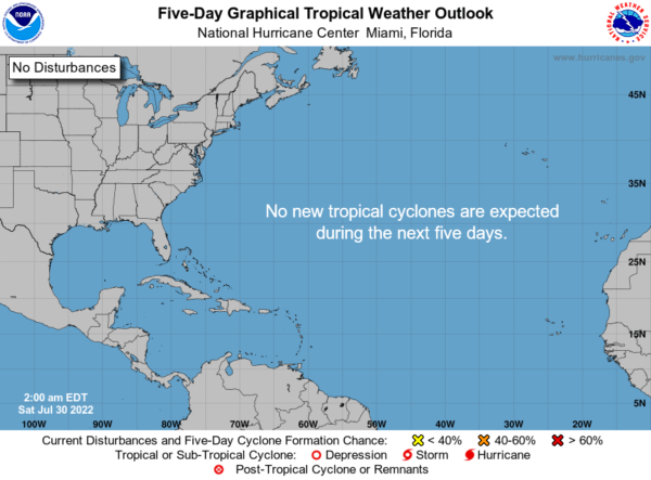
THE TROPICS: All is calm across the Gulf of Mexico, the Caribbean Sea, and the tropical Atlantic Ocean, and no new tropical systems are expected to form over the next five days.
BEACH FORECAST: Get the latest weather and rip current forecasts for the beaches from Dauphin Island, AL, to Panama City Beach, FL, on our Beach Forecast Center page. There, you can select the forecast of the region that you are interested in.
ADVERTISE ON THE BLOG: We had a record-breaking year in 2021, and we are looking to break that mark this year! Don’t miss out! We can customize a creative, flexible, and affordable package that will suit your organization’s needs. Contact Bill Murray at (205) 687-0782.
E-FORECAST SIGN UP: Get the Alabama Weather Blog’s Seven-Day Forecast delivered directly to your inbox by email twice daily. It is the most detailed weather forecast available in Central Alabama. Subscribe here… It’s free!
SOCIAL MEDIA: You can find the AlabamaWx Weather Blog on Facebook and Twitter.
Category: Alabama's Weather, ALL POSTS, Tropical, Weather Xtreme Videos


