Sunday Afternoon Update: A Warm One
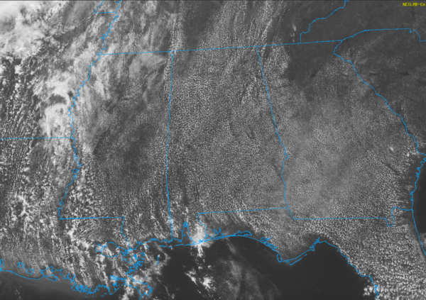
A beautiful Saturday afternoon is in progress across Alabama with a healthy field of cumulus in the deeper moisture across the state. You can see that in the visible satellite picture.
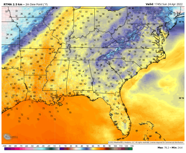
These are dewpoints, with the deeper moisture in the orange shades, which lines up nicely with the satellite cumulus field.
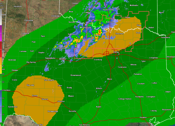
The nearest precipitation is some light showers over Arkansas and Louisiana. Stronger storms are firing up over North Texas and southern Arkansas where a severe thunderstorm watch is in effect.
The yellow highlighted areas are the SPC slight risk areas. The darker green is the marginal risk area.
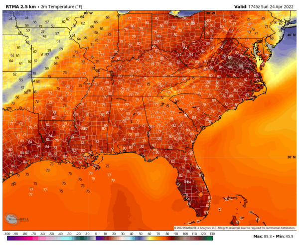
The rest today and most of Monday will be dry and warm. Here are current temperatures:
Heading toward highs in the lower and middle 80s. These temperatures are more comparable to early June than late April.
Category: Alabama's Weather, ALL POSTS


