A Sunday Brunch Update: Glorious Weather Today and Monday, Rain and Storms Return Tuesday
Just finished updating the forecast, and not much has changed.
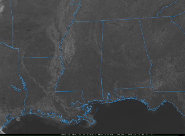
Today is beautiful with cloudless skies and highs edging toward 70F across the area. Some clouds will return overnight with lows in the 40s. This will set the stage for a partly cloudy and warm day tomorrow. Highs will be in the middle and upper 70s.
A warm front will lift northward across the area Tuesday, creating a juicy warm sector with lots of warmth and moisture. Along with that will come a decent amount of instability, and any of the storms that become organized could produce damaging winds or even an isolated tornado. Highs will be in the lower 70s.
Rainfall amounts could approach 1-3 inches in many spots, with some heavier amounts possible in an area where the heaviest rainfall axis develops. This could cause flooding.
The rain will end by Tuesday evening and we should stay dry into Wednesday morning. Lows will be in the balmy lower 60s and the mercury will rise well into the 70s on Wednesday afternoon ahead of a surging cold front. This front will provide the spark for a line of storms. Some of these storms could be strong to severe. While we don’t see a strong signal for tornadoes, they certainly can’t be ruled out. Damaging winds should be the primary threat.
Thursday, the rain will be gone, and it will be cooler, with highs in the 60s. Friday morning will be chilly, with lows in the upper 30s to lower 40s. 30s will be common Saturday and Sunday mornings, with a widespread frost likely, and a freeze possible in some locations. Be ready to protect any tender vegetation. Highs on Friday and Saturday will struggle to get out of the 50s.
Category: Alabama's Weather, ALL POSTS


