Sunday Weather Update: A Cool and Dry Sunday
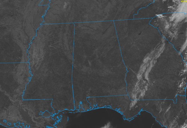
Clear and cool conditions cover the state of Alabama on this day before Valentine’s Day. Temperatures started off in the 20s and lower 30s, and have grudgingly warmed into 30s and 40s. Most locations will be in the 40s by afternoon’s end.
No clouds are threatening to invade the region, with all of the clouds on satellite to our east and southeast. Lows tonight will drop into the 20s over the northern half of the area, with some readings as cold as 20F in the protected valleys of Northeast Alabama.
The first half of the new week will feature dry conditions with a warming trend. Highs will warm from the 50s Monday, to the 60s for Tuesday and Wednesday. Some locations will approach 70F on Wednesday. Lows will be near freezing Tuesday morning but be back in the 40s for Wednesday morning.
Lots of unanswered questions as to the severe weather threat for Thursday. The signals are there: strengthening low pressure moving from Oklahoma to western Kentucky by Thursday morning, a strong upper trough approaching from the west, and a cold front pushing to the southeast. Temperatures are expected to rise into the upper 60s to lower 70s Thursday, with dewpoints reaching 65F across much of the area. Regulars on here know that that spells trouble.
The temperatures, dewpoints, and upper trough indicate instability will be present, and with the strong wind field, severe storms look likely. Low-level helicity would also be fairly prevalent, causing the concern for tornadoes. But the amount of instability, the time of day factor, and the potential lack of forcing make it less than a done deal. Still, it is a great time to do the mental gymnastics of reviewing your personal severe weather safety plan just in case.
Category: Alabama's Weather, ALL POSTS, Severe Weather


