At Midday — Enhanced Risk Reduced but Severe Weather Remains Possible Later Today
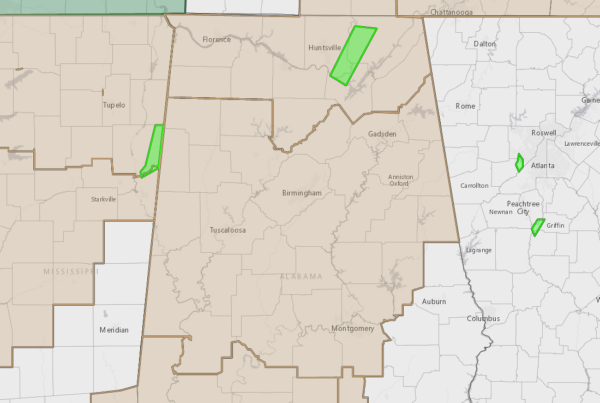
We have a couple of Wind Advisories in effect across North/Central Alabama today. NWS Huntsville continues one for all the North Alabama counties and is set to expire at 9 pm tonight. NWS Birmingham continues the advisory for nearly all the Central Alabama counties until midnight tonight except for Chambers, Lee, Russell, Macon, Bullock, Pike, and Barbour counties in the southeastern parts of the area. Wind gusts up to 40 mph can be expected outside any thunderstorm activity today.
For now, only a few scattered showers are occurring over the northern parts of the area, with a few isolated showers occurring over the southern half. At the 11 am roundup, temperatures were in the lower 70s to the lower 80s. Troy was the warm spot at 82 degrees, while the cool spot was Haleyville at 73 degrees. Birmingham was at 77 degrees.
We’ll have a chance of scattered showers throughout the afternoon hours, before we may see some stronger thunderstorm start to develop during the early hours. The front with a line of strong thunderstorms will begin to move into the area by the start of the evening and will slowly progress across the area until exiting during the morning hours on Sunday. We have the threat of severe weather during this time frame in the form of tornadoes and damaging winds up to 60 mph. Highs today will be up in the upper 70s to the lower 80s.
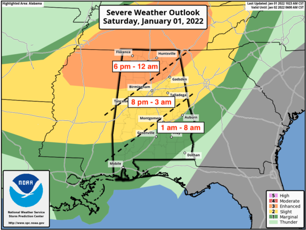
An Enhanced Risk is up for all of North Alabama and much of Central Alabama down to a line roughly from Millport to Kimberly to Centre. A Slight Risk is up south of the Enhanced Risk to a line stretching roughly from Letohatchee to Auburn to Huguley. A Marginal Risk is up south of the Slight Risk for the remainder of Central Alabama.
The main timing for the threat of severe storms looks to start around 6 pm in the northwestern parts of the area and will end around midnight, from 8 pm tonight through 3 am Sunday morning for the locations along and just south of the I-59 corridor, and from 1 am through 8 am Sunday morning for the southern and southeastern parts of the area.
The good news with this event is that warm air aloft may inhibit a higher threat of severe storms; however, we’ll continue to have strong wind shear and a decent amount of instability and plenty of helicity, so if any storm grows strong enough to break through the cap of warm air aloft, the potential will be there for it to quickly become severe.
If the cap is broken, then we can expect discrete cells to develop out ahead of the main line of storms, and these could serve the greatest potential of tornadoes, possibly even a strong tornado of EF2 or greater. These could start as early as 4 pm, but as mentioned earlier, the likelihood of the cap to be broken is small for now. NWS Birmingham will do a special 18z sounding, and we’ll get those results after the midday hour.
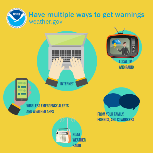
Be sure to know where to go if a warning is issued for your location. Now is the time to be sure that your safe place is free from clutter and your safety supplies have been restocked and ready to go. Have multiple ways to receive warnings and have those mobile devices fully charged and those weather apps installed. Also, keep fresh batteries in those WeatherRadios as this will continue into the overnight hours tonight through Sunday morning. I’ll keep you updated with any changes or with watches and warnings.
Category: Alabama's Weather, ALL POSTS, Severe Weather


