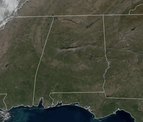
Midday Nowcast: Warming Trend Underway
A very cold start to the day with widespread 20s, but we are warming up nicely this afternoon as temperatures are returning to the low 60s. The sky if full of sunshine and will remain mostly clear tonight as well. It will not be as cold tonight with upper 30s and lower 40s expected.
ACROSS THE USA: A series of Pacific storms will bring periods of heavy low elevation rain and heavy mountain snow to the Western U.S. through the Christmas weekend. Across the southern California coast, flash flooding and debris flows are possible in the vicinity of recently burned areas. High winds may cause power outages and make for difficult travel today in the central, southern Rockies and southern Plains.
CHRISTMAS EVE: Tomorrow will continue to feature more sun than clouds and warmer temperatures. Highs tomorrow will warm into the upper 60s for North/Central Alabama.
CHRISTMAS DAY: It will be dry and warm with morning lows in the 50s and afternoon highs in the low 70s. We will see a few more clouds in the sky, but overall great weather for the kids to play outside with all the new bikes or toys Santa delivers tomorrow night.
BOXING DAY: Little change in the forecast for the day after Christmas…It will remain mainly sunny and dry with afternoon highs again surging into the low 70s.
BEACH FORECAST CENTER: Get the latest weather and rip current forecasts for the beaches from Fort Morgan to Panama City on our Beach Forecast Center page. There, you can select the forecast of the region that you are interested in visiting.
WORLD TEMPERATURE EXTREMES: Over the last 24 hours, the highest observation outside the U.S. was 110.7F at Winton Airport, Australia. The lowest observation was -72.8F at Toko, Russia.
CONTIGUOUS TEMPERATURE EXTREMES: Over the last 24 hours, the highest observation was 84F at Del Rio, TX. The lowest observation was -11F at Mount Washington, NH.
WEATHER ON THIS DATE IN 1982: A major winter storm struck Colorado producing heavy snow and blizzard conditions. A record two feet of snow was reported at Stapleton Airport in Denver, which was shut down for 33 hours. Up to 44 inches of snow fell in the foothills surrounding Denver. The storm hurt the ski industry as skiers were unable to make it out of Denver to the slopes, and the closed airport became a campground for vacationers.
Category: Alabama's Weather, ALL POSTS


