Midday Nowcast: More Sun Than Clouds, A Few Midday Showers
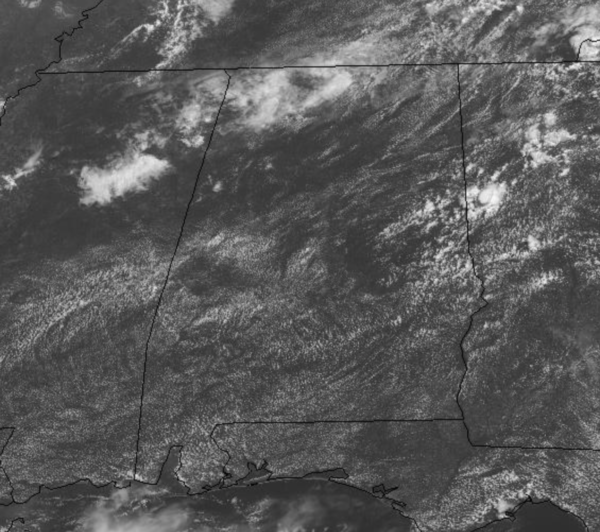
TODAY/TOMORROW: Isolated to scattered showers and storms remain in the forecast these two days, but not the coverage we have experienced the past few days as an upper-ridge replaces the trough that was in place.
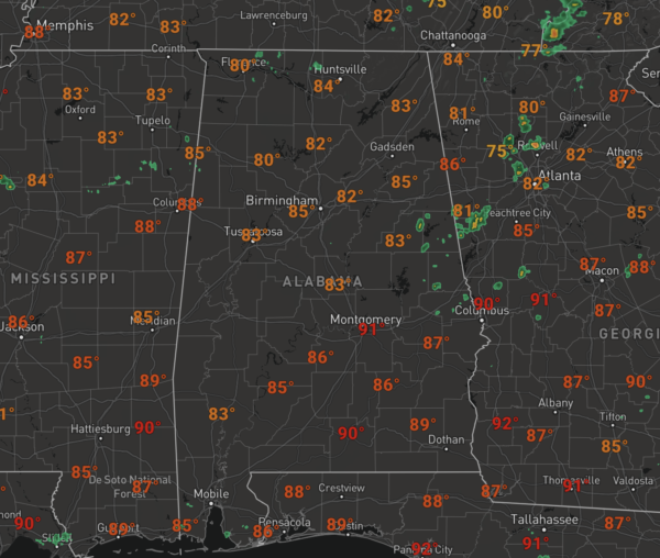
We are seeing more sun than clouds allowing temperatures to surge into the lower 90s in many locations later this afternoon.
RADAR CHECK: Approaching the midday hour, the radar is relatively quiet, but there are a few showers showing up across East Alabama, with a few showers back to the west.
Through the afternoon, additional showers and storms will develop, but again these will more widely scattered and isolated. Of course, if you find yourself under one, expect heavy rainfall and lots of lightning.
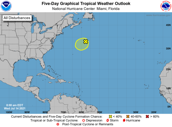
TROPICAL UPDATE: Most of the Atlantic continues to be quiet and calm, however, a non-tropical area of low pressure, located several hundred miles south-southwest of Cape Race, Newfoundland, is producing near-gale-force winds, however, showers and thunderstorms, well east of its center, remain limited. Although environmental conditions are only marginally conducive during the next couple of days, some slight development of this system is possible as it drifts generally southwestward over warmer waters. Toward the end of the week, the low is expected to accelerate northeastward and open up into a trough of low pressure to the south of Atlantic Canada. Formation chance through 5 days…low…10 percent.
BEACH FORECAST CENTER: Get the latest weather and rip current forecasts for the beaches from Fort Morgan to Panama City on our Beach Forecast Center page. There, you can select the forecast of the region that you are interested in visiting.
WORLD TEMPERATURE EXTREMES: Over the last 24 hours, the highest observation outside the U.S. was 121.8F at Ahwaz, Iran. The lowest observation was -97.6F at Concordia, Antarctica.
CONTIGUOUS TEMPERATURE EXTREMES: Over the last 24 hours, the highest observation was 121F at Death Valley, CA. The lowest observation was 35F at Sand Creek Station, OR.
WEATHER ON THIS DATE IN 1936: Extreme heat prevailed across the central U.S. as severe drought raged from Texas to the Dakotas. Record high temperatures were established in sixteen states that summer, including readings as high as 120 degrees in the Great Plains Region. On this particular date, afternoon highs for 113 stations across the state of Iowa averaged 108.7 degrees.
Category: Alabama's Weather, ALL POSTS


