A Few Strong Storms Remain Possible Throughout the Rest of Your Thursday
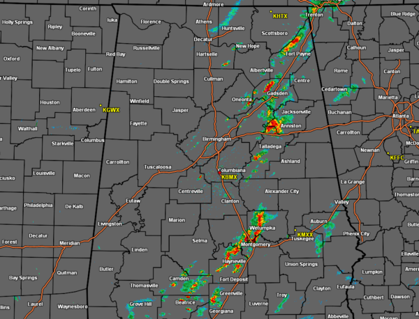
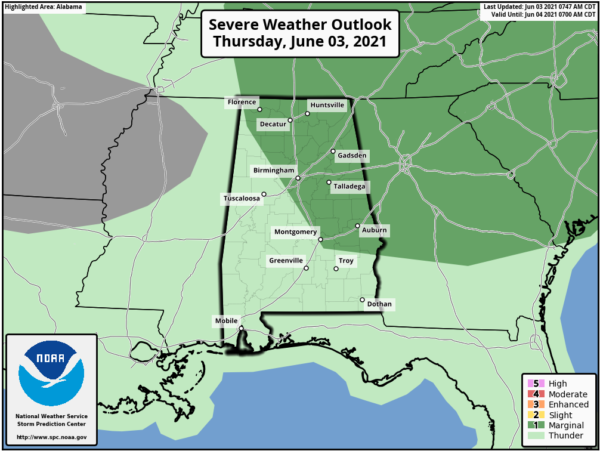
As of 11:10 am, we continue to have scattered showers and thunderstorms over the eastern half of North/Central Alabama, with nearly all of that activity east of the I-65 corridor except for locations south of US-80. Nothing strong at the moment, but we do note that the SPC continues a Marginal Risk for locations along and east of a line from Waterloo to Montevallo to Montgomery with the possibility of gusty winds and small hail with any stronger storm.
Scattered showers and thunderstorms will continue to be possible throughout the remainder of the daylight hours across the area, with most of the activity occurring over the eastern half of North/Central Alabama. A few strong storms will be possible with the threat of small hail and gusty winds. Highs will be in the 80s across the area. Drier air will start to move into the northwestern parts of the area later this evening and will slowly push southeast throughout the night. Scattered showers and storms will continue to be possible mainly along and south of the I-59 corridor. Lows will be in the upper 50s to the upper 60s.
Parts of Central Alabama may get a small break from the rain as there will only be a small chance of a few isolated to scattered showers and storms over the southern half of the area during Friday afternoon and evening. Highs will once again be in the 80s.
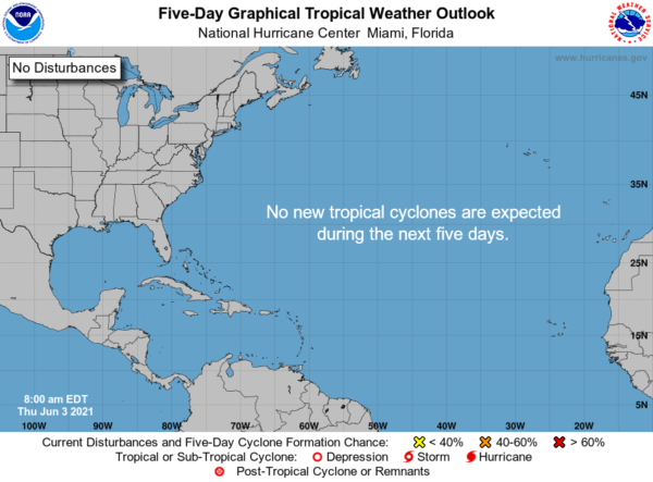
All remains quiet across the Atlantic Basin and no new tropical systems are expected to form within the next five days over the tropical Atlantic Ocean, Caribbean Sea, and the Gulf of Mexico.
Category: Alabama's Weather, ALL POSTS, Severe Weather, Tropical


