Midday Nowcast: Increasing Clouds with Some Rain and Storms on the Way
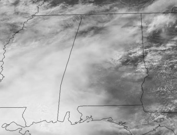
The stalled front across South Alabama means we remain generally cloudy with periods of rain and storms at times the rest of today, tonight, and tomorrow.
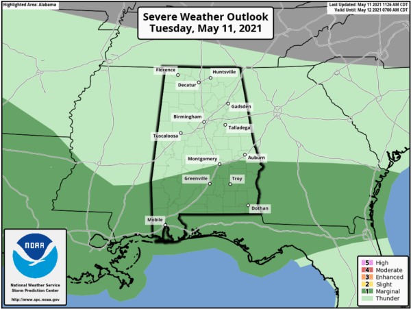
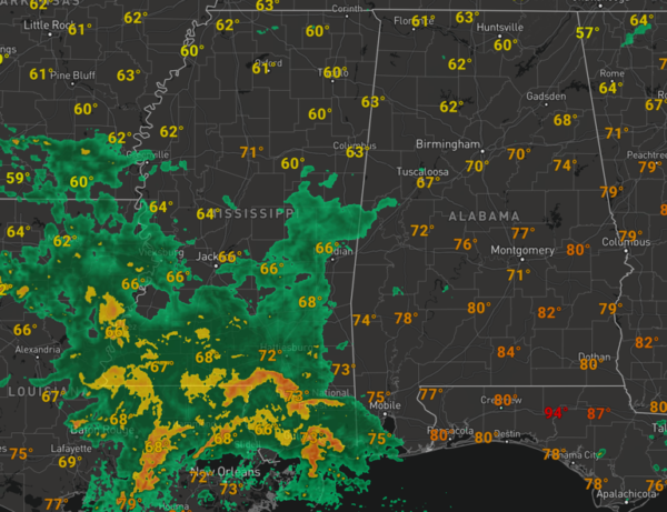
The SPC maintains the southern third of the state under a “marginal risk” for severe storms today as a few storms down that way could be strong/severe, with gusty winds and some hail possible. And as we look to the west and southwest of the state, rain and storms are increasing in coverage across Mississippi and Louisiana and these will be expanding north and east into Alabama the rest of today.
Temperatures today should climb into the low and mid-70s, but only mid and upper 60s are in the forecast for tomorrow. For tonight, expect periods of rain and storms with temperatures in the 50s. Rain amounts the next couple of days could be in the 1-2 inch range range, with higher amounts likely do to the south.
THURSDAY: There could be some lingering light showers early Thursday and the day will be mainly cloudy, but drier air begins to settle in from the northwest by the end of the day, allowing for some clearing. It will be another cooler day with highs only in the 60s.
BEACH FORECAST CENTER: Get the latest weather and rip current forecasts for the beaches from Fort Morgan to Panama City on our Beach Forecast Center page. There, you can select the forecast of the region that you are interested in visiting.
WORLD TEMPERATURE EXTREMES: Over the last 24 hours, the highest observation outside the U.S. was 115.9F at Kharga, Egypt. The lowest observation was -105.5F at Concordia, Antarctica.
CONTIGUOUS TEMPERATURE EXTREMES: Over the last 24 hours, the highest observation was 104F at Rio Grande Village, TX. The lowest observation was 13F at Atlantic City, WY and Stanley, ID.
WEATHER ON THIS DATE IN 1966: The 1.6 inch snow at Chicago, IL, was their latest measurable snow of record. Previously the record was 3.7 inches on the 1st and 2nd of May set in 1940.
Category: Alabama's Weather, ALL POSTS


