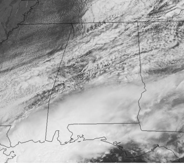
Midday Nowcast: Some Gradually Clearing
Drier air is settling into the state behind the front that continues to push through South Alabama this afternoon. There remains some showers and storms down that way, but thankfully much of the state is getting break from the heavy rain. We will see more and more sunshine as we head through the afternoon across the northern half of the state with highs in the 70s. Tonight will be a clear and cool one as temperatures fall back into the upper 40s and lower 50s.
TOMORROW/FRIDAY: The weather will remain dry for Alabama tomorrow with ample sunshine and highs again in the mid 70s. Late tomorrow night, a secondary cold front will push into the state and it could squeeze out a few scattered showers over North Alabama, but moisture will be limited, and rain amounts will be very light and spotty. Cooler air moves into the state Friday behind the front, highs will be closer to 70°, under a sky full of sunshine.
MOTHER’S DAY WEEKEND: Saturday will be dry and pleasant, with a good supply of sunshine, the high will be around 80°. Clouds increase Sunday, and we will bring in a chance of showers and thunderstorms late in the day and especially Sunday night, but for now, most of Mother’s Day should be dry. Sunday’s high will be in the low 80s.
BEACH FORECAST CENTER: Get the latest weather and rip current forecasts for the beaches from Fort Morgan to Panama City on our Beach Forecast Center page. There, you can select the forecast of the region that you are interested in visiting.
WORLD TEMPERATURE EXTREMES: Over the last 24 hours, the highest observation outside the U.S. was 120.4F at Tambacounda, Senegal. The lowest observation was -103.5F at University Dome, Antarctica.
CONTIGUOUS TEMPERATURE EXTREMES: Over the last 24 hours, the highest observation was 101F at Death Valley, CA. The lowest observation was 14F at Hazen, ND.
Category: Alabama's Weather, ALL POSTS


