Midday Nowcast: More Clouds than Sun Today, Some Storms Possible Tonight
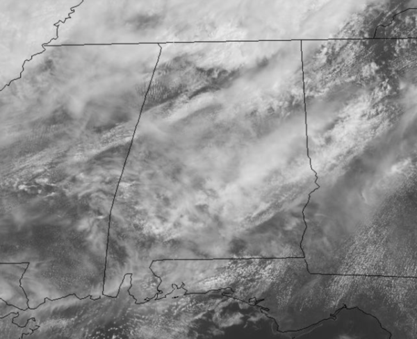
Morning clouds have given way to some intervals of sunshine as we roll into the afternoon hours. There are a few very light showers across Alabama but for the most part, it remains mainly dry across the state and very warm as temperatures again surge into the 80s.
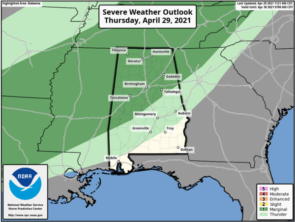
TONIGHT: Rain will return to Alabama tonight as a band of showers and storms pushes through the state. The SPC has removed the level 2/5 “slight risk” and left a “marginal risk” (level 1/5) for the northern half of the state as a few storms could produce some gusty and maybe small hail with a slight increase in instability.
The tornado threat is very low, but not zero. Rainfall amounts should be around the one-half inch. Most of the showers will push down into South Alabama after midnight.
FINALLY FRIDAY: Behind the front, tomorrow will be a bit cooler with highs back in the 70s. We should see more sun than clouds across the northern half of the state.
FIRST WEEKEND OF MAY: Saturday will be dry and very nice day of weather with a good supply of sunshine and highs in the upper 70s and lower 80s. Sunday will feature more clouds than sun, and we will mention a chance of scattered rain showers, especially late in the day and into Sunday night. Highs Sunday will be in the 80s.
BEACH FORECAST CENTER: Get the latest weather and rip current forecasts for the beaches from Fort Morgan to Panama City on our Beach Forecast Center page. There, you can select the forecast of the region that you are interested in visiting.
WORLD TEMPERATURE EXTREMES: Over the last 24 hours, the highest observation outside the U.S. was 121.6F at Kita, Mali. The lowest observation was -85.7F at Concordia, Antarctica.
CONTIGUOUS TEMPERATURE EXTREMES: Over the last 24 hours, the highest observation was 106F at Cotulla, TX. The lowest observation was 21F at Leadville, CO.
Category: Alabama's Weather, ALL POSTS


