Midday Nowcast: Mainly Sunny and Warm Tuesday
An upper ridge is located over the the Central Gulf Coast this week, while at the surface, an area of high pressure is centered off the Carolina coast. Together, these two features are keeping Alabama’s weather dry, and very warm through Thursday night.
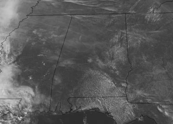
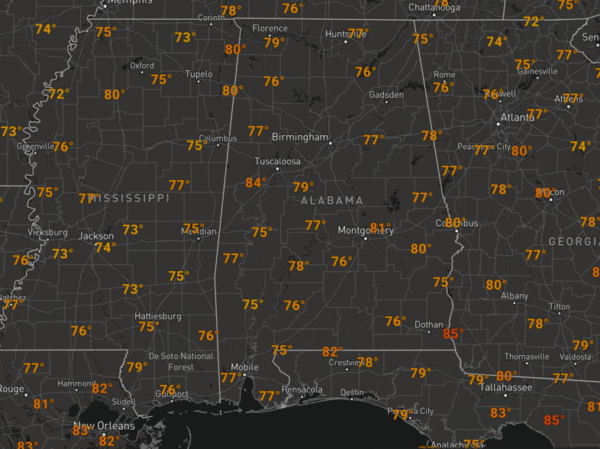
We are seeing some clouds in the sky, but these are mainly upper-level clouds, giving us that filtered sunshine look. It is very warm today as temperatures will have no problem reaching the low, mid, and upper 80s in spots, which are a good 5-10 degrees above average for the final week of April in Alabama.
Nights are fair and comfortable with temps generally in the 50s and 60s.
RAIN/STORMS RETURN: A front will approach the area late Thursday bringing our next chance of rain late Thursday night and into Friday morning. There will be very little instability and the main dynamics will pass north of Alabama, so severe storms are still not in the forecast. Highs will be in the 80s Thursday, but will be much cooler Friday with highs back in the upper 60s and lower 70s. Rain amounts for most of the state will be in the one-half to one inch range. The rain will end from northwest to southeast during the day Friday and drier air will return to Alabama Friday night.
BEACH FORECAST CENTER: Get the latest weather and rip current forecasts for the beaches from Fort Morgan to Panama City on our Beach Forecast Center page. There, you can select the forecast of the region that you are interested in visiting.
WORLD TEMPERATURE EXTREMES: Over the last 24 hours, the highest observation outside the U.S. was 115.2F at Piggs Peak, Swaziland. The lowest observation was -89.7F at Concordia, Antarctica.
CONTIGUOUS TEMPERATURE EXTREMES: Over the last 24 hours, the highest observation was 100F at Winterhaven, CA. The lowest observation was 12F at Peter Sinks, UT.
Category: Alabama's Weather, ALL POSTS


