Wednesday Night’s Fairview Tornado
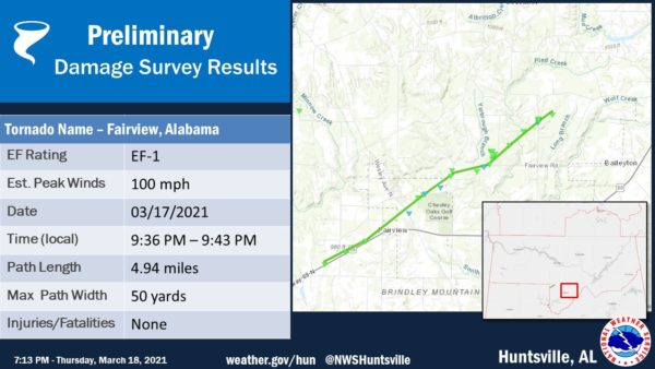
This is a discussion of the EF-1 tornado that moved through Northeast Cullman County Wednesday night. The tornado was on the ground for 7 minutes, from 9:36pm until 9:43pm CT. The path length was 5 miles, and the estimated peak wind was 100 mph.
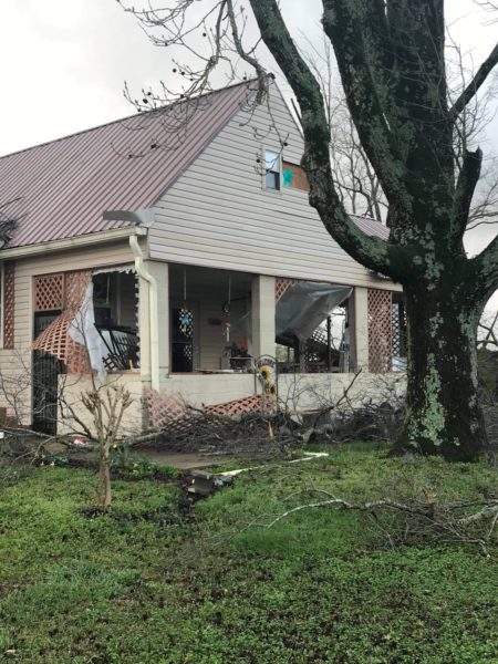
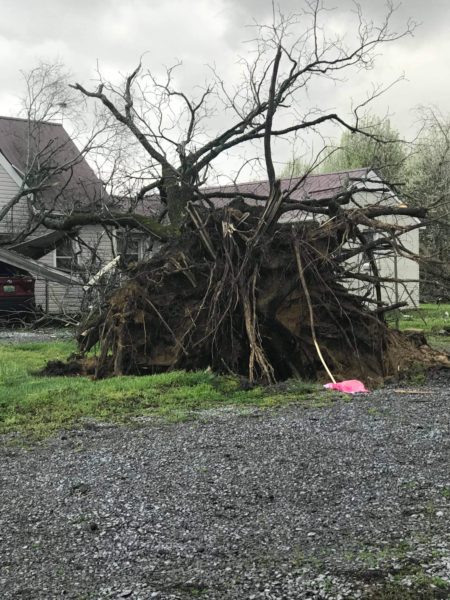
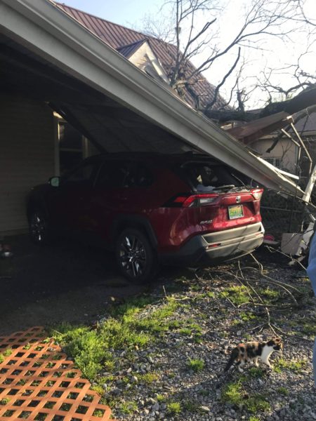
Many trees were blown down, and there was structural damage, but thankfully no injuries. Photos below are from Andrea King.
There was no warning for this tornado.
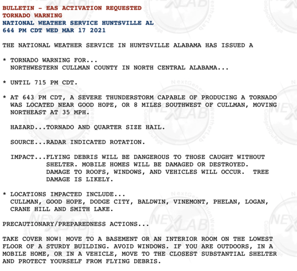
A tornado warning was in effect for parts of Cullman County earlier in the evening; that warning was issued at 6:44 p.m. CT.
That storm produced damage in the Gold Ridge community of northern Cullman County, and a few other spots as well. But, the Fairview tornado would come about three hours later.
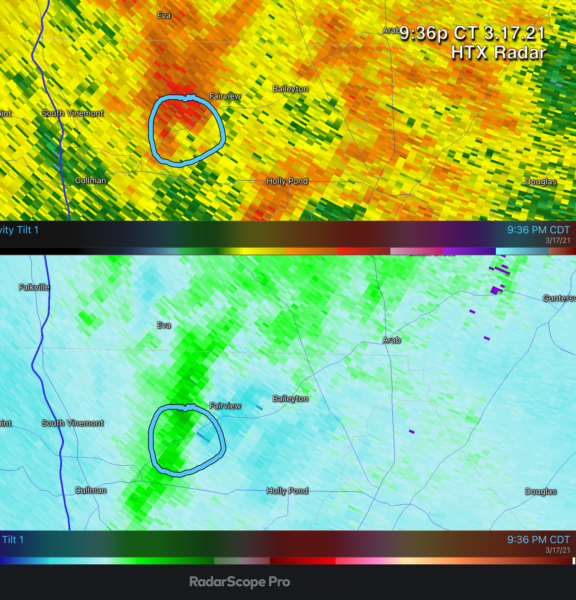
WHY NO WARNING? This is a reminder that sometimes, despite modern technology and increased understanding of severe local convective storms, tornadoes can touch down without warning. It was a very, very messy radar pattern Wednesday night when the Fairview tornado briefly touched down, and signatures weren’t easy to identify. Looking back on it, I could find one good volume scan from the Hytop radar that showed a BWER (bounded weak echo region) in the reflectivity data, and a matching velocity couplet. This scan was at 9:36pm CT, when the tornado touched down.
Sure, you can find it now after spending some time to investigate, but imagine working the NWS warning desk and having to find these features in real time. Trust me, it isn’t easy. And you simply can’t issue warning after warning anytime you see a weak radar signature. The false alarm ratio would be incredibly high.
There was no wall to wall coverage on Birmingham stations because there was no tornado warning. Same reason your NOAA Weather Radio and smart phone didn’t sound the alarm.
In the weather enterprise, we will all go back and look at this and do everything we can to be sure we don’t miss a tornado with a similar signature. But, there will be cases when brief tornadoes like this touch down without warning. Of course, there was a tornado watch in effect, and it is a good reminder to pay close attention to every storm that passes through during a watch.
HUNTSVILLE OR BIRMINGHAM: This case has brought up the confusing issue with National Weather Service CWA (County Warning Area) boundaries and TV market areas. If you are in Cullman County….
*Your warnings come from the National Weather Service in Huntsville. Yes, they missed the Fairview tornado, but please understand they are an excellent office with very talented meteorologists.
*Your TV coverage comes from Birmingham. Cullman County is in the Birmingham TV market, and you should be watching local stations from Birmingham during severe weather. TV market assignment has nothing to do with National Weather Service CWAs. Yes, Huntsville stations will provide coverage from time to time, but they don’t have to since Cullman is “out of market” for them. For every tornado warning issued for Cullman County, we go on the air, and stay on the air.
Cullman County is not in “no man’s land”. The NWS Huntsville is a great office, and the Birmingham TV market is one of the finest in the nation when it comes to severe weather coverage. The situation Wednesday night was simply a reminder that we still have work to do. I have said it before, and I will say it here. Humility is missing in the science of meteorology. We still have much to learn.
But, for the large number of tornadoes (we won’t know the exact number until the surveys are completed next week), we experienced Wednesday night, there were no fatalities, and no injuries. While not perfect, the warning system works well, and the people of Alabama did a remarkable job of being prepared.
Category: Alabama's Weather, ALL POSTS, Severe Weather

