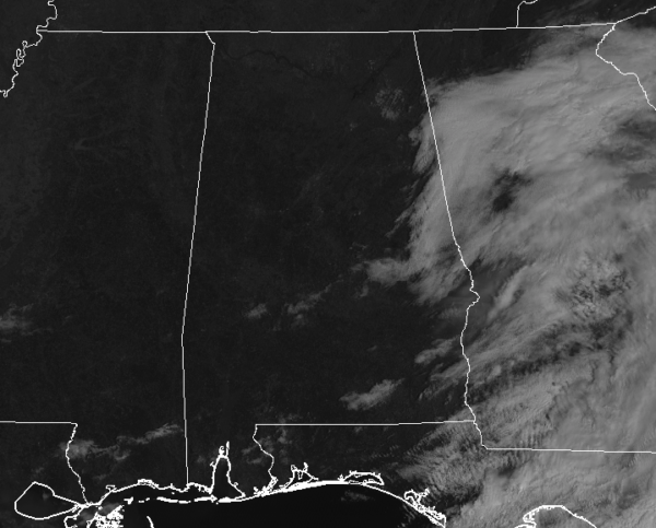
A Late Morning Look At Our Fantastic Saturday Weather
THE CENTRAL ALABAMA WEEKEND
Skies have cleared out much quicker across Central Alabama this morning, and as we finish off the morning and head into the afternoon, all the area will have a copious amount of sunshine. With that earlier clearing, afternoon highs will now make it up into the upper 50s to the mid-60s across the area. Tonight will feature clear skies and chilly temperatures as lows will dip into the 30s.
High pressure sets up close by for Sunday that will bring sunny skies and slightly warmer temperatures to the area. Afternoon highs will be in the lower to mid-60s.
OUR NEXT RAINMAKER
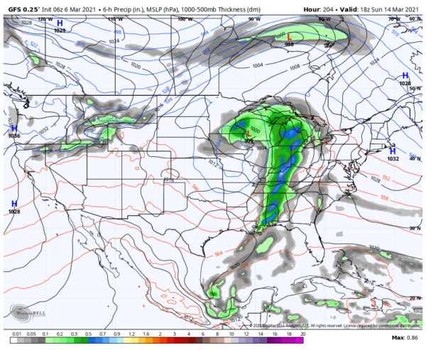
Taking a step out there in Voodoo Land, it looks like our next rainmaker will move into the area on Sunday, March 14th. Between now and then, no rain is expected for all of Central Alabama.
TEMPERATURE OUTLOOK
After we get through tonight’s and Sunday night’s chilly low temperatures, we go into a decent warming trend that will take us up into the 70s and some locations into the lower 80s by Thursday and Friday. This temperature graph is from the National Blend of Models for the NWS Birmingham forecast office/radar site. I’m using this site as it is nearly in the center of Central Alabama. So take away a couple of degrees or so if you are north of the site, or add a couple of degrees if you are to the south.
ON THIS DAY IN WEATHER HISTORY
1954 – Florida received its greatest modern-day snowfall of record, with 4.0 inches at the Milton Experimental Station. Pensacola FL equalled their 24-hour record with 2.1 inches of snow.
Category: Alabama's Weather, ALL POSTS


