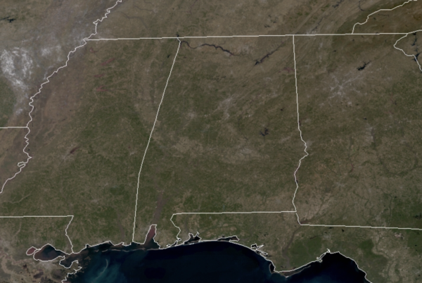
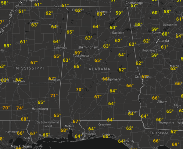
Midday Nowcast: Severe Clear with Mild Temperatures
It was definitely a chilly morning across the state, but under a sky full of sunshine, thanks to an area of high pressure over the region, we are warming up nicely, giving us a taste of spring today.
Temperatures this afternoon are surging into the upper 60s and low 70s across North/Central Alabama.
Tonight will be clear and chilly with lows in the upper 30s and lower 40s. Then for tomorrow, another splendid spring-like day of weather as temperatures surge into the 70s under a sunny sky.
APPROACHING FRONT: A weak front will sink into the state from the north early Thursday, which will allow for clouds and the chance for a few isolated showers through the day. Highs Thursday will be a bit cooler, in the 60s. Rain looks to become more widespread across the state Thursday night and Friday as the front stalls and a wave of energy moves through the state. There could be a rumbles of thunder, but no severe storms are expected, and the best chance of rain will be over the northern half of the state. Highs Friday will be in the 50s for the northern half of the state.
BEACH FORECAST CENTER: Get the latest weather and rip current forecasts for the beaches from Fort Morgan to Panama City on our Beach Forecast Center page. There, you can select the forecast of the region that you are interested in visiting.
WORLD TEMPERATURE EXTREMES: Over the last 24 hours, the highest observation outside the U.S. was 109.2F at Longreach Airport, Australia. The lowest observation was -64.3F at Concordia, Antarctica.
CONTIGUOUS TEMPERATURE EXTREMES: Over the last 24 hours, the highest observation was 87F at Punta Gorda, FL. The lowest observation was -2F at Angle Fire, MN.
Category: Alabama's Weather, ALL POSTS


